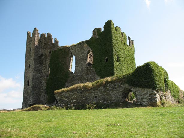
Add your own picture and explain the route, parking, gates, paths or landmarks that help people find it.
Earn 5 points after the picture is checked and accepted.
Add your photo and local directionsShare what you foundWhat is recorded here
Situated on a fairly level landscape c. 420m S of the sea-shore W of Rosslare Harbour. Katherine Synnott, a daughter of Simon Synnott of Ballygerry, is recorded in a memorial stone dated 1570 at Ballyconor Big (WX048-033005-) (Browne 1937). Phillip Synnott held Bellygerry from the Queen when he died in 1590 (Jeffrey 1979, 6), and Simon Synnott held 185 acres at Ballygerry in 1640 according to the Book of Survey and Distribution (1660s) (Simington 1953, 306). John Synnott of Ballygerry was listed for transportation in 1653 with four dependents (Hore 1900-11, vol. 6, 502).
A substantial house and a windmill are depicted on the Down Survey (1656-8) barony map of Forth at Ballygerry, and the parish map of Kilrane where Ballygerry incorporates Haysland townland to its W. According to John O’Donovan writing c. 1840 no part of the castle was then visible although the site was known (O'Flanagan 1933, vol. 1, 275), and it is marked on the 1839 and 1940 eds of the OS 6-inch map. An overgrown area, containing some wall footings is situated c. 30m E of a N-S road and behind some farm buildings. This is known as the site of the castle, but it was probably a substantial house rather than a castle. Archaeological monitoring (05E0892) by M. Henry c. 80m to the W failed to produce archaeological material. (Henry 2008).
See the attached view from the Down Survey parish map (N at right) reproduced courtesy of the National Library of Ireland (Ms 725).
The above description is derived from the published 'Archaeological Inventory of County Wexford' (Dublin: Stationery Office, 1996). In certain instances the entries have been revised and updated in the light of recent research.
Compiled by: Michael Moore
Date of upload/revision: 3 January 2014
The monument record does not grant public access. Check the route and ask the landowner before entering private land.