Add your own picture and explain the route, parking, gates, paths or landmarks that help people find it.
Earn 5 points after the picture is checked and accepted.
Add your photo and local directionsShare what you foundWhat is recorded here
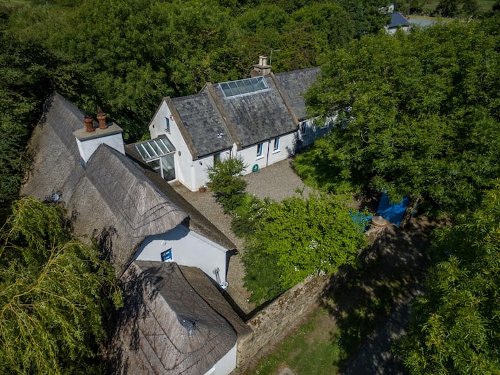
Located on a fairly level landscape. The cropmark of a rectangular enclosure (dims c. 60m N-S; c. 40m E-W) defined by a single fosse feature is visible on aerial photographs (ASIAP (263) 21-3; (265) 15-6; (267) 26-7). There is a ring-ditch (diam. c. 15m) inside the perimeter at N. It is also visible on the OSI series of aerial photographs (2000) where it is integrated with elements of a rectangular field system (WX024-142003-), and is also visible in images captured in July 2018 by a drone-mounted camera operated by Páid Bates (Skypix Aerial Works).
Compiled by: Michael Moore
Date of revised upload: 2 January, 2019
The monument record does not grant public access. Check the route and ask the landowner before entering private land.