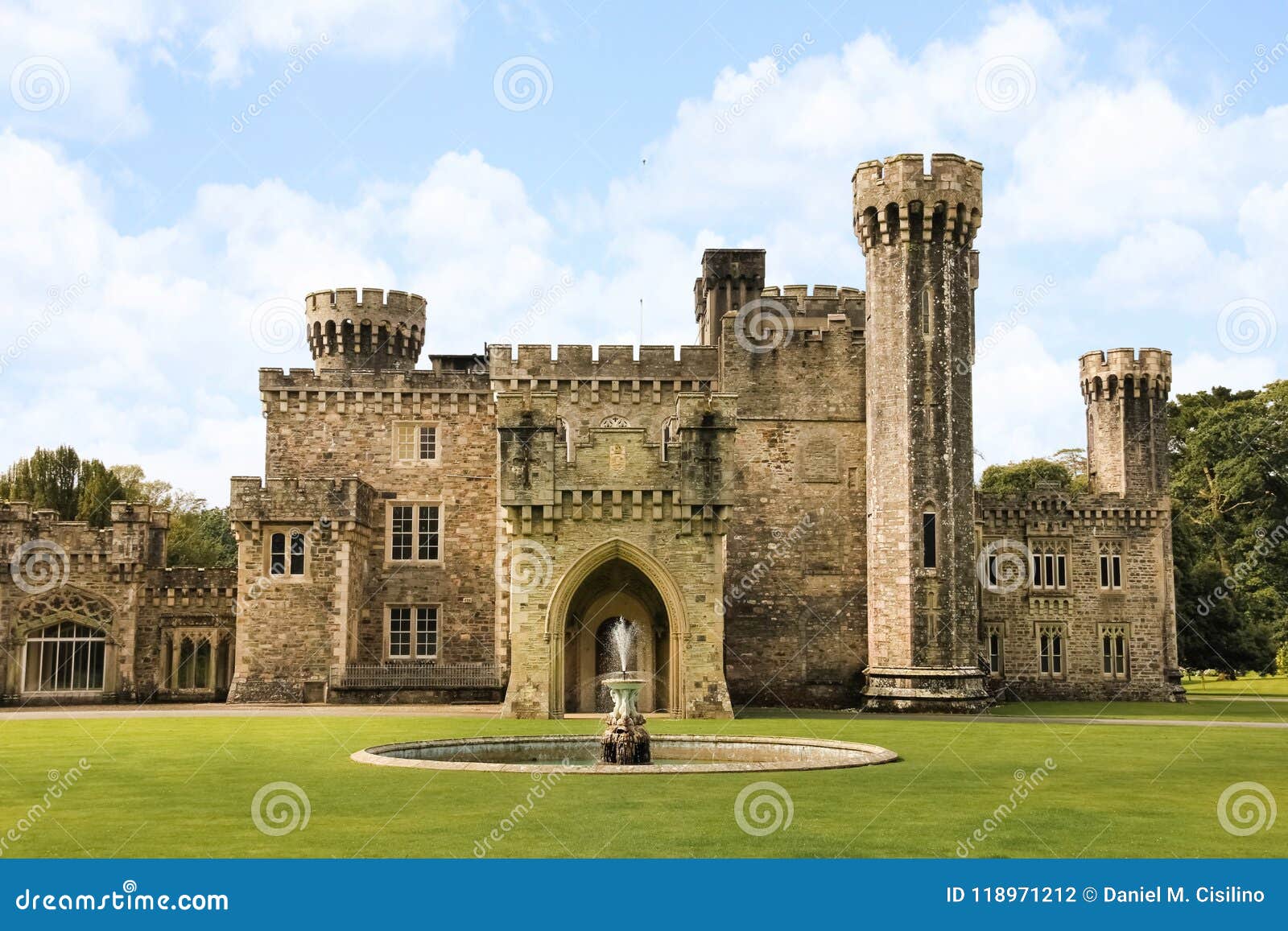
Add your own picture and explain the route, parking, gates, paths or landmarks that help people find it.
Earn 5 points after the picture is checked and accepted.
Add your photo and local directionsShare what you foundWhat is recorded here
Situated on a level, low-lying landscape with the E-W Bridgetown river c. 130m to the N. According to the Civil Survey (1654-6) a castle and 60 acres at Bridgetown was owned by William Browne of Mulrankin (WX047031----) in 1640 (Simington 1953, 155), but it was mortgaged to Nicholas Rowe for £50 (Jeffrey 1979, 68-9). During the 1641 rebellion it was occupied by Rowe and his wife Ursula who were robbed by the Brownes of Mulrankin castle (Browne and Whelan 1987, 470). The castle was removed in 1830s according to John O’Donovan writing c. 1840 (O'Flanagan 1933, vol. 2, 203), and according to Lewis (1837, vol. 2, 423) it was associated with the Keating family. The site of the castle is marked on the 1839 and 1940 eds of the OS 6-inch map. There are no visible remains of a structure at ground level in pasture. The site of St David's Well (WX047-027----) is c. 25m to the SE. Archaeological testing (06E0014) just to the N and E failed to produce any related material (McLoughlin 2010), and testing (08E0647) c. 80m to the NE had a similar result (O’Neill 2011).
The above description is derived from the published 'Archaeological Inventory of County Wexford' (Dublin: Stationery Office, 1996). In certain instances the entries have been revised and updated in the light of recent research.
Compiled by: Michael Moore
Date of upload/revision: 14 October, 2013
This remains an important historical record, but the official description says the monument is no longer visible or has been destroyed.
The monument record does not grant public access. Check the route and ask the landowner before entering private land.