Add your own picture and explain the route, parking, gates, paths or landmarks that help people find it.
Earn 5 points after the picture is checked and accepted.
Add your photo and local directionsShare what you foundWhat is recorded here
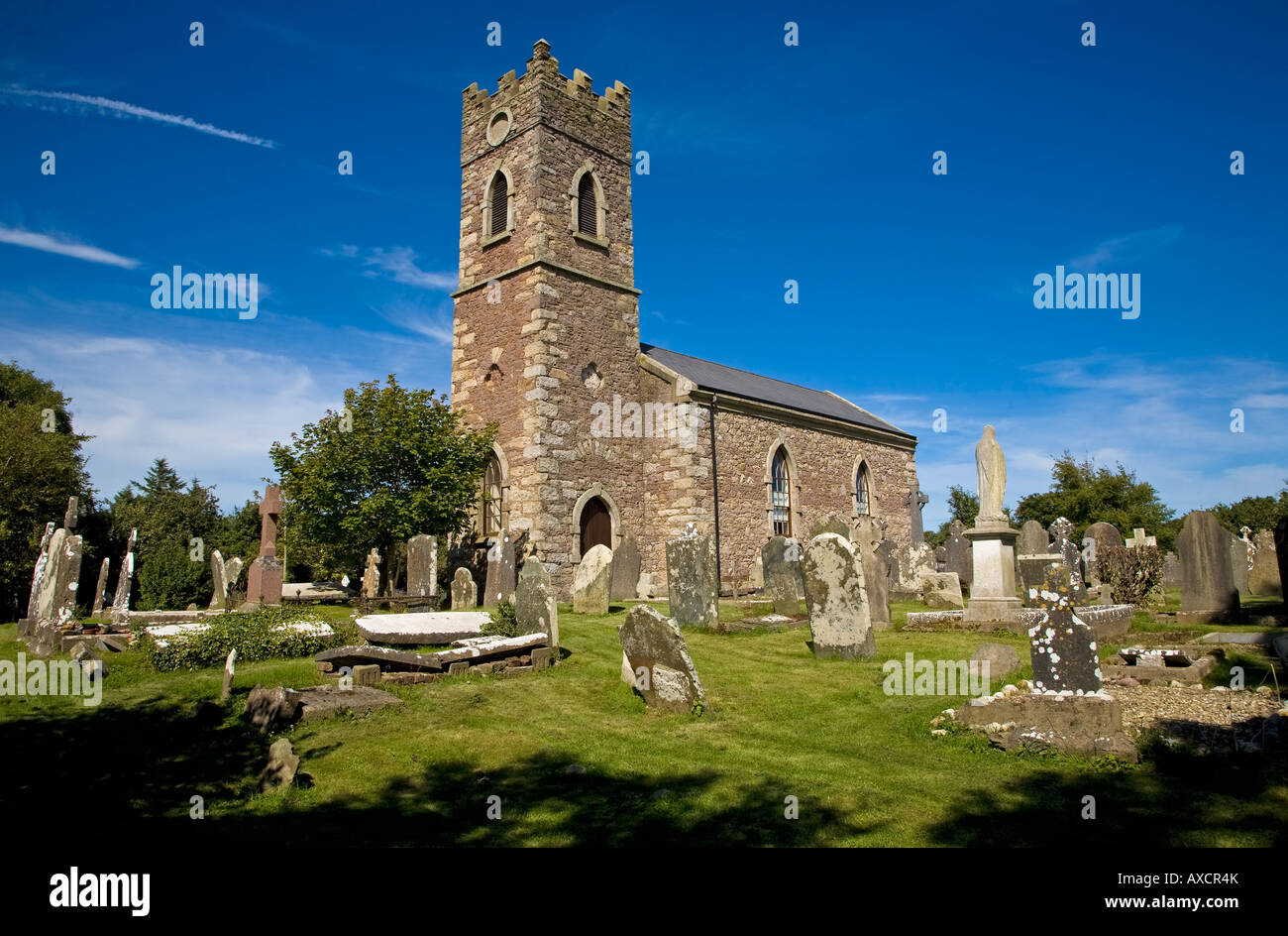
Situated at the W edge of a plateau overlooking a N-S stream c. 170m to the W. Archaeological testing (04E1335) uncovered evidence of a fosse (Wth 2.4-3m) of what be an ecclesiastical enclosure (dims c. 120m E-W; c. 65m N-S) to the N and E of the graveyard (WX046-057002-), the rest of the perimeter being formed by the graveyard wall at S and the road curving W-N just to the W (McLoughlin 2004, 9, 11; 2008).
Compiled by: Michael Moore
Date of upload: 19 August, 2013
The monument record does not grant public access. Check the route and ask the landowner before entering private land.