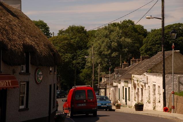
Add your own picture and explain the route, parking, gates, paths or landmarks that help people find it.
Earn 5 points after the picture is checked and accepted.
Add your photo and local directionsShare what you foundWhat is recorded here
The site of Duncormick castle (WX046-034001-) is situated on a rock outcrop promontory (dims 51m E-W; c. 38m N-S; H 4-6.5m) on the W side of the valley of a N-S stream, and in the centre of Duncormick village. There is a wide trench or fosse (Wth of top 13-15m; D 6-6.5m) on the S side of the promontory, which may be natural. It extends west as far as a N-S public road (L c. 100m). There is no evidence of an earthwork bank or fosse cutting off the promontory, although the promontory is partly occupied by a house.
Compiled by: Michael Moore
Date of upload: 19 August, 2103
The monument record does not grant public access. Check the route and ask the landowner before entering private land.