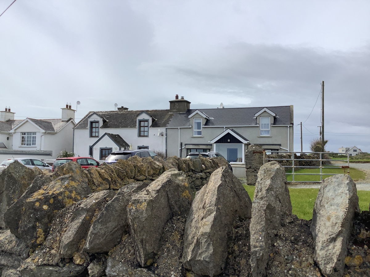
Add your own picture and explain the route, parking, gates, paths or landmarks that help people find it.
Earn 5 points after the picture is checked and accepted.
Add your photo and local directionsShare what you foundWhat is recorded here
Located towards the bottom of a NE-facing slope with the head of a SE-NW inlet of the tidal River Nore/Barrow c. 100m to the NE. The souterrain is on the line of the bank of rath (WX039-087001-) at W, and was discovered when a lintel was removed in ploughing. It is an oval chamber (dims 3.2m NE-SW; 1.2-1.9m NW-SE) and the long walls corbel in to a line of lintels on the long axis. The SW end has collapsed and the maximum H (1.3m) is achieved at the NE end where the present entrance is. There is a lintelled but blocked entrance (Wth 0.5m; visible H 0.4m) at the NE end of the chamber, which is now closed.
Compiled by: Michael Moore
Date of upload: 25 January, 2013
The monument record does not grant public access. Check the route and ask the landowner before entering private land.