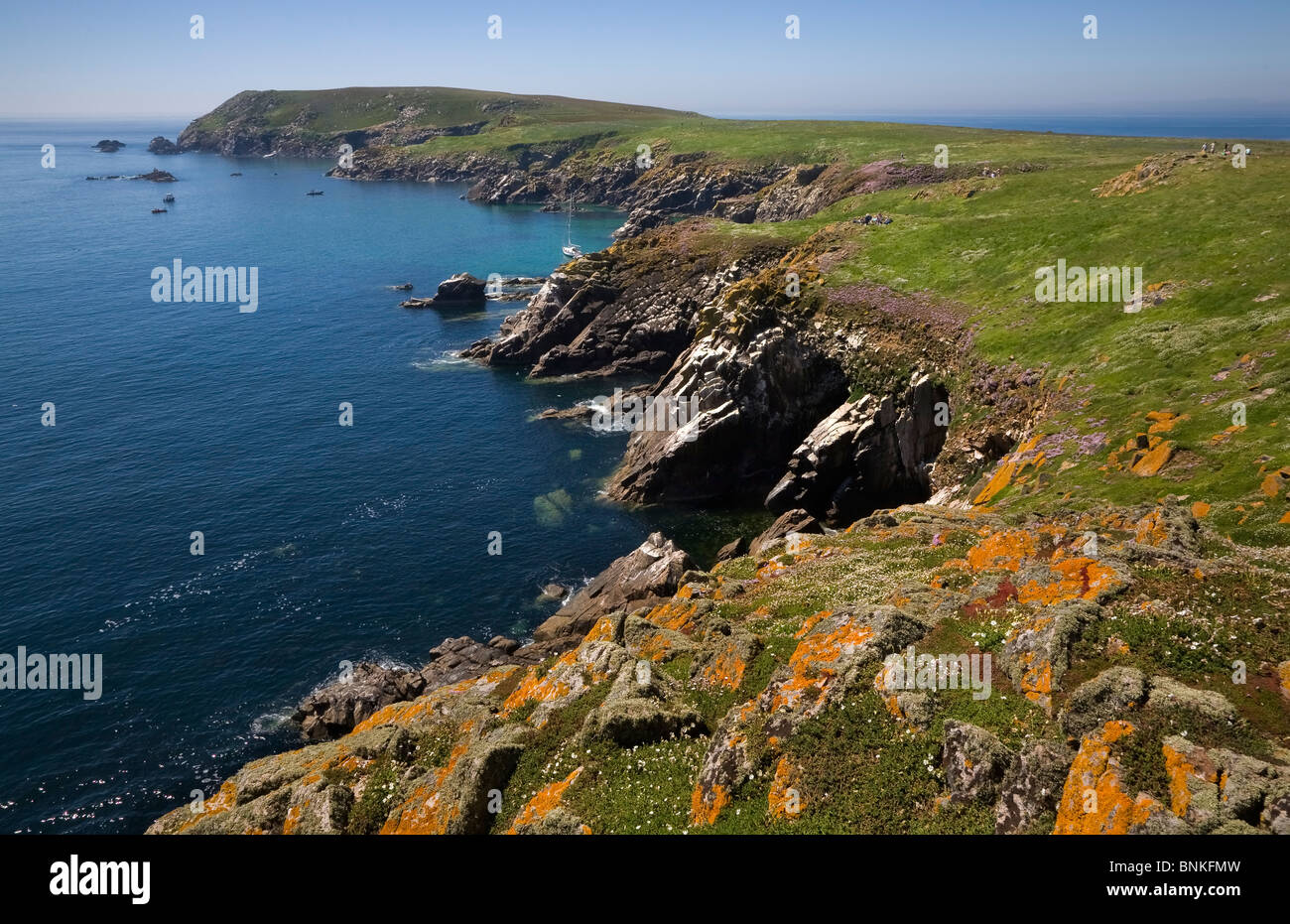
Add your own picture and explain the route, parking, gates, paths or landmarks that help people find it.
Earn 5 points after the picture is checked and accepted.
Add your photo and local directionsShare what you foundWhat is recorded here
Westropp describes an earthwork enclosure within the ecclesiastical enclosure (WX039-018007-) N of the E-W pubic road and W of the stream (1918, 9). It was rectangular ‘114 feet along the stream’ and its N end bent W ’42 feet back to a (N-S) fence, beyond which I found no trace' (ext. dims c. 42m N-S; c. 13m E-W). It was defined by two low earthen banks with a slight intervening fosse (total Wth c. 4.5m). It may have been a moated site truncated by a N-S field bank at W, but it does not survive in a deciduous wood. LiDAR imagery and an earth resistance survey confirm the existence of this enclosure (Curley et al. 2018, 28-9).
Compiled by: Michael Moore
Date of revised upload: 11 June, 2018
The monument record does not grant public access. Check the route and ask the landowner before entering private land.