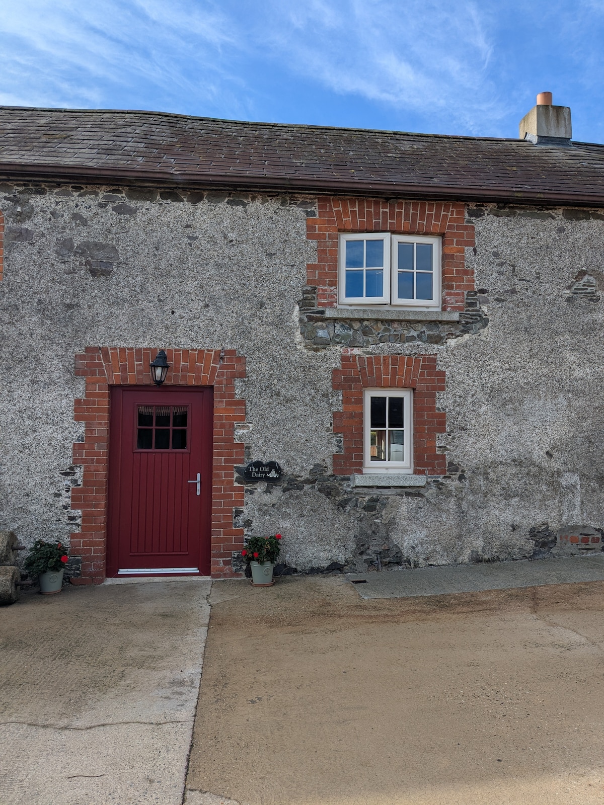
Add your own picture and explain the route, parking, gates, paths or landmarks that help people find it.
Earn 5 points after the picture is checked and accepted.
Add your photo and local directionsShare what you foundWhat is recorded here
First identified in centre-line testing (00E0379) for the re-alignment of the N25 Wexford town to New Ross road (Elder and Tierney 2002), and completely excavated (00E0624) subsequently. It is situated on a fairly level landscape. An oval pit (dims 1.24m x 0.9m; D 0.15m) in the oxidized subsoil was filled with layers of varying amounts of charcoal. A charcoal sample that was either oak or elm produced a C14 date of cal BC 372-167. (Elder 2002; Elder and Johnston 2006)
Compiled by: Michael Moore
Date of upload: 7 November, 2012
The monument record does not grant public access. Check the route and ask the landowner before entering private land.