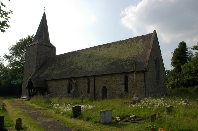
Add your own picture and explain the route, parking, gates, paths or landmarks that help people find it.
Earn 5 points after the picture is checked and accepted.
Add your photo and local directionsShare what you foundWhat is recorded here
Marked faintly as a rectangular structure (dims. c. 20m NE-SW; c. 10m NW-SE) on the 1839 ed. of the OS 6-inch map, and situated on a gentle SW-facing slope at the point where the land falls away to the valley of a small SW-NE stream at the point where the stream turns SE. John O'Donovan writing c. 1840 (O'Flanagan 1933, vol. 2, 360) records that the foundation courses of a church were then visible. There is no visible traces at ground level of church within a rectangular graveyard (dims. c. 40m NW-SE; c. 30-45m NE-SW) defined by earthen banks and hedges, apart from a cairn (dims. 7m x 3m; H 1m). The site of St Colman's Well (WX040-002----) is c. 40m S of the graveyard. Archaeological testing (13E0076) in the field immediately to the E (McLoughlin 2013) identified many archaeological features including pits, gullies and ditches, and recovered pottery of a late 12th century or 13th century date. A ditch (Wth c. 2m; D 0.7m plus) c. 50m E of the graveyard and apparently centered on it could be an ecclesiastical enclosure.
The above description is derived from the published 'Archaeological Inventory of County Wexford' (Dublin: Stationery Office, 1996). In certain instances the entries have been revised and updated in the light of recent research.
Compiled by: Michael Moore
Date of upload/revision: 15 October, 2012
This remains an important historical record, but the official description says the monument is no longer visible or has been destroyed.
The monument record does not grant public access. Check the route and ask the landowner before entering private land.