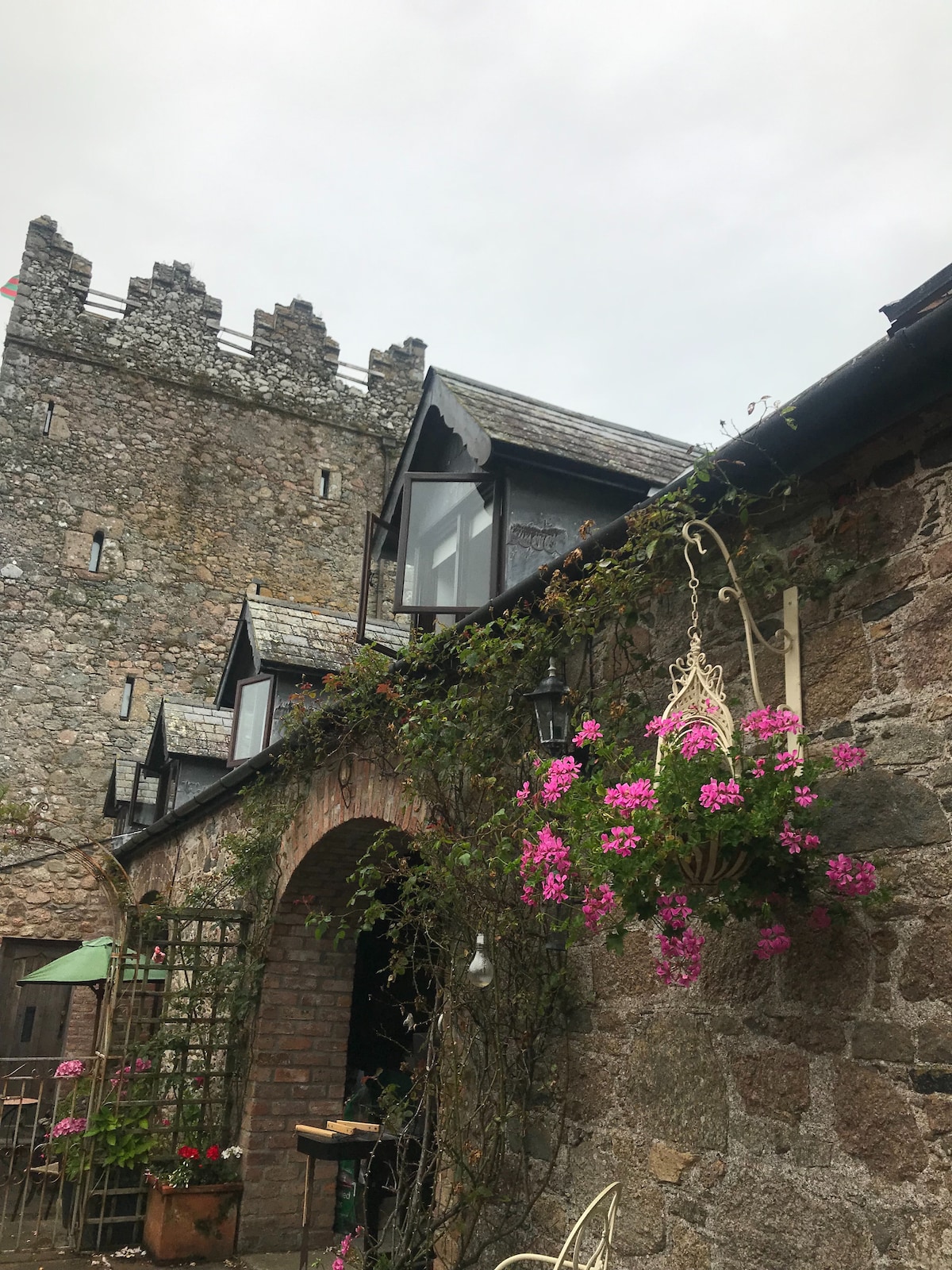
Add your own picture and explain the route, parking, gates, paths or landmarks that help people find it.
Earn 5 points after the picture is checked and accepted.
Add your photo and local directionsShare what you foundWhat is recorded here
Situated on a gentle W-facing slope at the W foothills of Carrickbyrne Hill. This is a subcircular grass-covered area (dims. 50m E-W; 44m N-S) defined by an earthen bank (Wth 5-7m; int. H 1.5-2m; ext H 1.4-1.8m) supporting mature deciduous and coniferous trees that is reduced to a scarp (H 1.4m) W-NW. There is a gap (Wth 8m) at N but the original entrance (Wth 2.2m) is at SE. There is no visible fosse. Archaeological testing (05E1135) immediately to the NE revealed a NW-SE ditch (Wth 1.8-.3m; d 0.25m) that might have been associated with the rath although 45m from it (Henry 2008), but further monitoring (05E1135 ext.) by Mary Henry failed to produce any further evidence (Henry 2009).
The above description is derived from the published 'Archaeological Inventory of County Wexford' (Dublin: Stationery Office, 1996). In certain instances the entries have been revised and updated in the light of recent research.
Compiled by: Michael Moore
Date of upload/revision: 15 October, 2012
The monument record does not grant public access. Check the route and ask the landowner before entering private land.