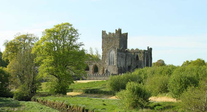
Add your own picture and explain the route, parking, gates, paths or landmarks that help people find it.
Earn 5 points after the picture is checked and accepted.
Add your photo and local directionsShare what you foundWhat is recorded here
Located at the S base of Cooltiege Hill. An area of broken and burnt stone (diam. c. 25m) is visible when the ground is ploughed, and it is visible on Google Earth (11/06/2002, 25/05/2017). The burnt stone material is bisected by a NE-SW field bank, and a polished stone axehead was found in the material which has now been deposited with the National Museum of Ireland. It was first reported and recorded by Colm Moriarty.
Compiled by: Michael Moore
Date of upload: 26/11/2019
The monument record does not grant public access. Check the route and ask the landowner before entering private land.