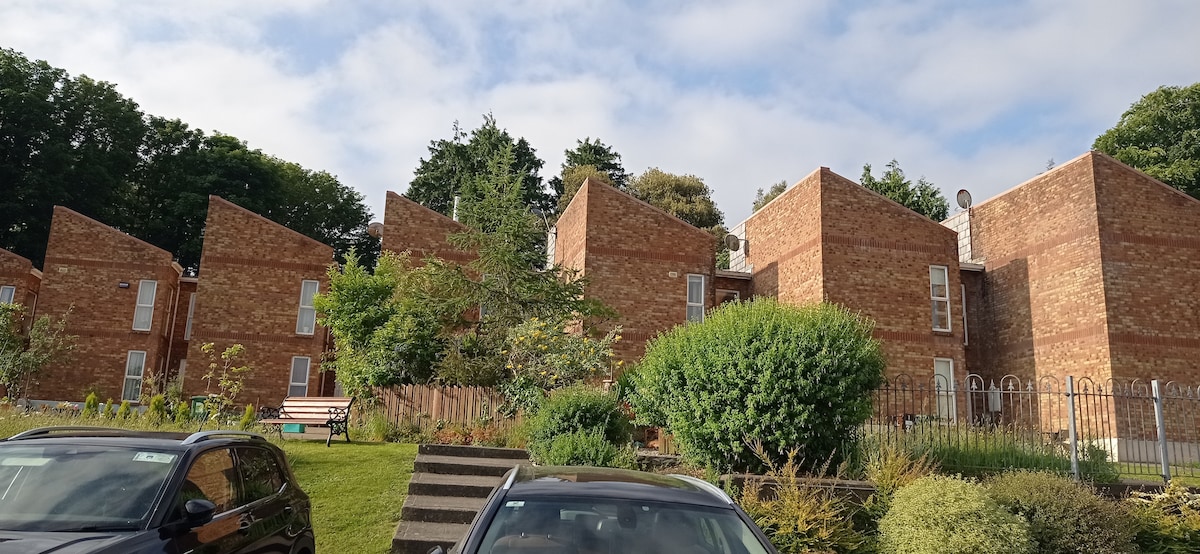
Add your own picture and explain the route, parking, gates, paths or landmarks that help people find it.
Earn 5 points after the picture is checked and accepted.
Add your photo and local directionsShare what you foundWhat is recorded here
Located on a slight SW-facing slope. The faint cropmark of a circular area (int. diam. c. 20m NE-SW; ext. diam. c. 40m NE-SW) defined by two fosses is visible on Google Earth (14/07/2018). It is truncated by a NE-SW field bank at NW at the edge of the inner enclosure, which is eccentrically placed within the outer fosse and the features are not visible NW of the field bank. It was first reported by Simon Dowling.
See the attached enhanced view from Google Earth
Compiled by: Michael Moore
Date of upload; 6 March 2020
The monument record does not grant public access. Check the route and ask the landowner before entering private land.