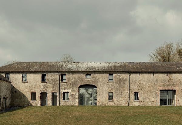
Add your own picture and explain the route, parking, gates, paths or landmarks that help people find it.
Earn 5 points after the picture is checked and accepted.
Add your photo and local directionsShare what you foundWhat is recorded here
Archaeological excavation (04E0320) in advance of the N30 road re-alignment at site 10 uncovered a post-medieval house foundation. Only an L-shaped section of wall (max. L 4m; Wth 0.5m) survived with some cobbled and beaten earth surfaces, and episodes of burning. There were some earlier channels but all the material is interpreted as a post-medieval house or outhouse and agricultural activity. (McCullough 2004)
Compiled by: Michael Moore
Date of upload: 3, July, 2012
The monument record does not grant public access. Check the route and ask the landowner before entering private land.