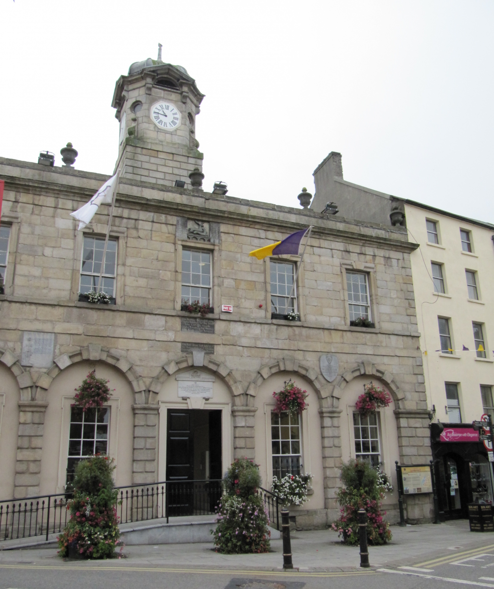
Add your own picture and explain the route, parking, gates, paths or landmarks that help people find it.
Earn 5 points after the picture is checked and accepted.
Add your photo and local directionsShare what you foundWhat is recorded here
Located at the bottom of a SE-facing slope on the N side of Rossdroit church (WX025-011----). Excavation (04E0396) at Site 1 as part of the N30 re-alignment recorded a concentration of stake-holes (dims. c. 5m E-W; c. 4m N-S) with some larger features, but no structural post-holes were identified. (Ó Maoldúin 2004, 5-6, Structure 2; 2007, 468)
Compiled by: Michael Moore
date of upload: 3 July, 2012
The monument record does not grant public access. Check the route and ask the landowner before entering private land.