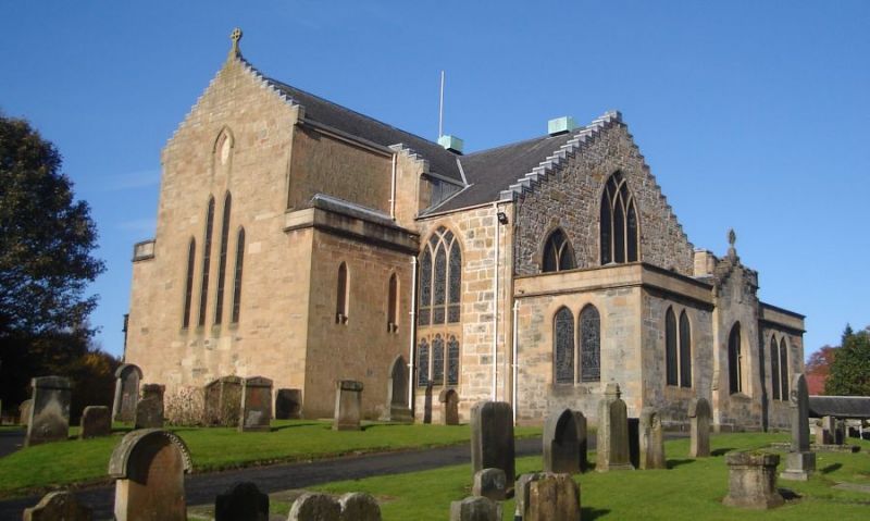
Add your own picture and explain the route, parking, gates, paths or landmarks that help people find it.
Earn 5 points after the picture is checked and accepted.
Add your photo and local directionsShare what you foundWhat is recorded here
Located on a slight S-facing slope. There is a record from the 1940s of the remains of a rectangular building (int. dims. c. 11m x c. 4.5m) at the graveyard site (WX021-013001-) (SMR file). It is no longer visible.
Compiled by: Michael Moore
Date of upload: 15 June, 2012
The monument record does not grant public access. Check the route and ask the landowner before entering private land.