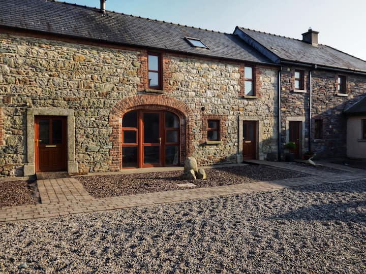
Add your own picture and explain the route, parking, gates, paths or landmarks that help people find it.
Earn 5 points after the picture is checked and accepted.
Add your photo and local directionsShare what you foundWhat is recorded here
Identified in centre-line testing (E4110) in advance of the M11 Gorey to Enniscorthy road scheme and set aside for resolution as Ballydawmore 3 (Hardy et al. 2010, 80-1). It is situated on a slight S-facing slope with an E-W stream c. 90m to the S. Excavation (E4279) by Y. Whitty recorded a hearth (dims 0.67m x 0.6m; T 0.07m) occupying a small, natural hollow, which was filled with a deposit of loose, red oxidised sand (dims 1.55m x 1.22m). A sherd of prehistoric pottery and burnt bone was recovered from this deposit, and Middle Bronze pottery was recovered from the topsoil. A second phase is represented by four small pits (dims 0.48m x 0.53m; D 0.22m to 0.95m x 0.9m; D 0.34m) and two larger pits (dims 2.1m N-S; 1.4m E-W; D 0.22m: 1.9m N-S; 1.65m E-W; D 0.44m). Some of the pits have a stratigraphic relationship, and a sample from one of the larger pits produced a C14 date of Cal. AD 897-1117. The metalworking site (WX020-112----) is c. 75m to the N, and the pits in Corbally townland (WX020-114----) are c. 120m to the S. (McNamara and Taylor 2012; Whitty 2013)
Compiled by: Michael Moore
Date of upload: 28 November
The monument record does not grant public access. Check the route and ask the landowner before entering private land.