Add your own picture and explain the route, parking, gates, paths or landmarks that help people find it.
Earn 5 points after the picture is checked and accepted.
Add your photo and local directionsShare what you foundWhat is recorded here
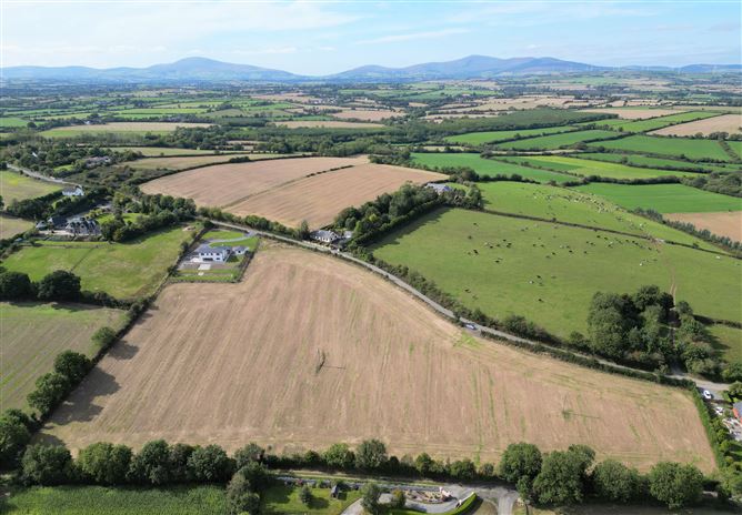
Identified in centre-line testing (E4110) in advance of the M11 Gorey to Enniscorthy road scheme, and set aside for resolution as Coolnahorna 1 (Hardy et al. 2010, 111-12). It is situated on a level landscape at the bottom of a NE-SW ridge that rises over it to the NW. It was excavated (E4275) by B. Sutton who recorded fourteen pits (dims 0.5m x 0.47m; D 0.14m to 1.4m x 00.95m; D 0.35m), one of which was exceptionally large (dims 3.9m x 3.5m; D 0.35m). Also within the confined area (dims c. 25m x c. 25m) were one stake-hole, five post-holes, and a small sample of oxidized subsoil. Twenty four sherds of prehistoric pottery, two flints and one ferrous object were recovered. The ditch-barrow (WX020-085----) is c. 175m to the NE. (Ruttle 2012; Sutton 2013)
Compiled by: Michael Moore
Date of upload: 28 November, 2013
The monument record does not grant public access. Check the route and ask the landowner before entering private land.