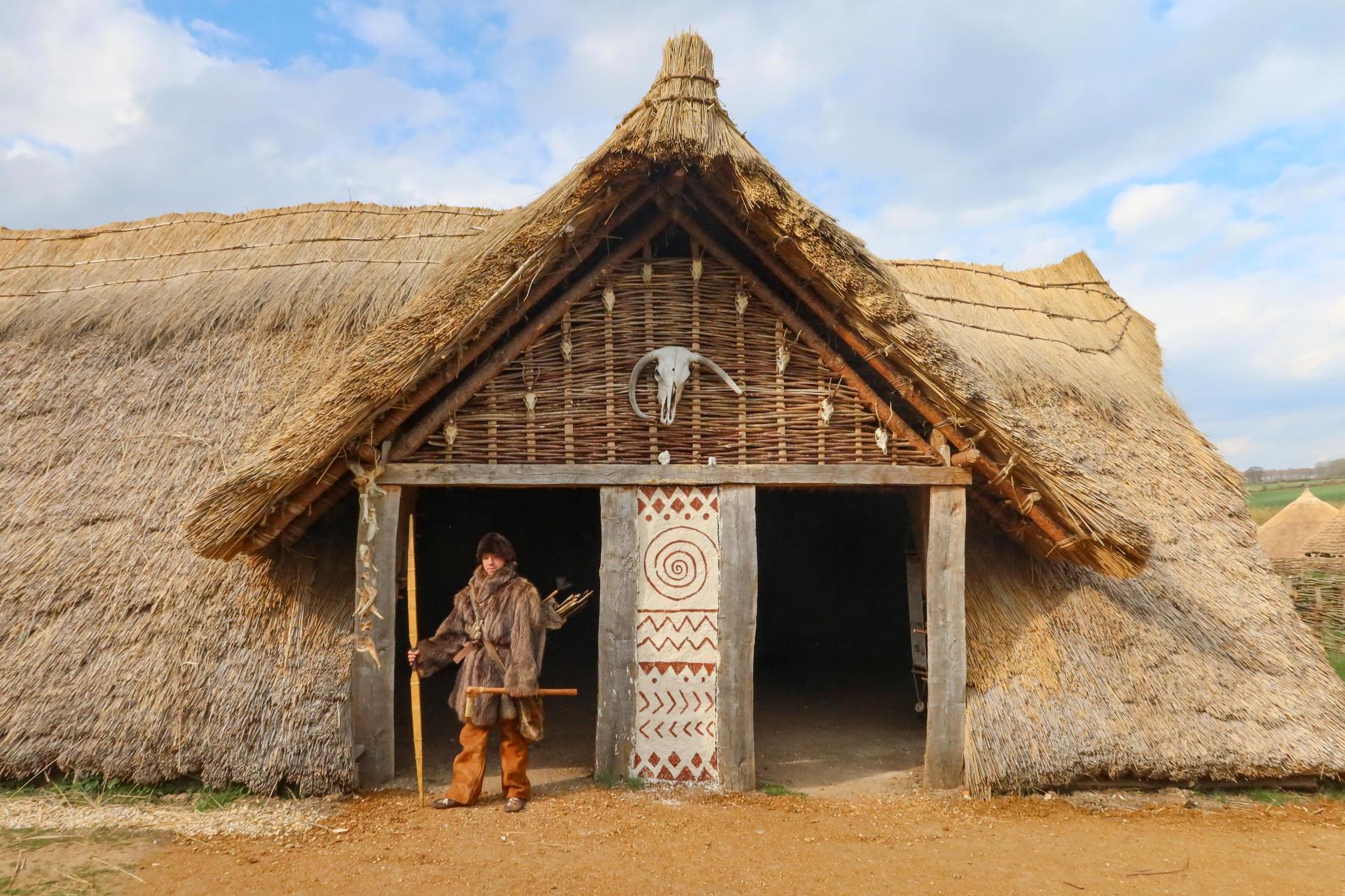
Add your own picture and explain the route, parking, gates, paths or landmarks that help people find it.
Earn 5 points after the picture is checked and accepted.
Add your photo and local directionsShare what you foundWhat is recorded here
Identified in centre-line testing (E4110) in advance of the M11 Gorey to Enniscorthy road scheme, and set aside for resolution as a part of Dunsinane 3 (Hardy et al. 2010, 130-1). It is located on a slight rise at the base of a low hill, the summit of which is c. 500m to the W and overlooking a slight dip just to the E with equally high ground c. 300m to the SE. It was excavated (E4325) by D. Gallagher when a well preserved Neolithic house came to light together with evidence suggestive of a second Neolithic house (WX019-039002-). At a later period metal-working (WX019-039003-) was conducted in the vicinity.
This house is a rectangular area (int. dims 10m E-W; 5m N-S; ext. dims 11.5m E-W; 7m N-S ) defined by slot-trenches at W (Wth 1m; D 0.7m), N (Wth 0.64-2.64m; D 0.61m), E (Wth 0.95m; D 0.8m) and S (Wth 0.6-1.1,; D 1m) with stones in the fill suggesting packing to support planks. A distinct plank-trench within the E wall (L 1.25m) may represent a threshold. Two short trenches connected the long walls to two central posts c. 1.8m apart. This space was occupied by a central hearth (dims 0.87m x 0.56m; T 0.06m) with nine stake-holes around the perimeter. The W room was sub-divided by two small trenches extending from the W wall at S (L 2.2m; Wth 0.42m; D 0.14m) and N (L 2.23m; Wth 0.33m; D 0.13m), each ending in cross-trench (L 0.71m at S; 0.82m at N). This divides the W part of the W room into three areas, the central one (dims c. 2m x c. 2m) being the largest, and it is suggested that it may have supported a raised dais. The E room has two further roof-supports and two small hearths or areas of burning close to the E wall. There were some pits in the interior of the house, particularly in the area of the possible dais and in the E room. Externally, the N and S walls extend W (L 0.8-1.25m) and E (L 1.7m) like antae but a wall represented by a slot-trench (L 3.3m; Wth 0.35m; D 0.13m) almost closes it off the E antae as an annexe, leaving entrance gaps at S (Wth 0.8m) and N (1.75m).
Apart from the four internal roof-supports already described 24 post-holes in the walls or within 1m of them externally may have had a role in supporting a pitched roof. About 16 pits (dims 0.34m x 0.23m; D 0.17m to 1.25m x 0.82m; D 0.7m), mostly to the N and E of the house, may be related, and some could have had a storage role. A natural depression (dims c. 14m NE-SW; 4-7m NW-SE) extended S of the house. The possible Neolithic house (WX019-039002-) is c. 4m to the N and the metal-working (WX019-039003-) is c. 20m to the W. The hearth and pits (WX019-038----) are c. 150m to the N, but they might be wholly unconnected. The Early Bronze Age houses (WX025-060001-; WX020-060002-) are c. 125 and c. 150m to the SSW respectively. (Gallagher et al. 2012, 5-26)
Compiled by: Michael Moore
Date of upload: 28 November, 2013
The monument record does not grant public access. Check the route and ask the landowner before entering private land.