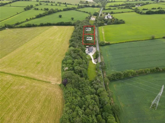
Add your own picture and explain the route, parking, gates, paths or landmarks that help people find it.
Earn 5 points after the picture is checked and accepted.
Add your photo and local directionsShare what you foundWhat is recorded here
Situated in the valley of a SW-NE stream, just W of where it is joined by a smaller S-N stream. It was excavated (E3504) as site 46 during 2005 in advance of the building of the N11 Arklow - Gorey bypass. A silt wash from the stream overlay a spread of broken and burnt stone (dims. 11.5m x 4m) which in turn overlay a subrectangular trough (dims. 1.3m x 1.1m; D 0.3m) cut into a number of silt deposits. Three pieces of worked wood had been truncated by the trough. Fulacht fia (WX006-044001-) is c. 5m to the W. (Martin 2008, 407)
Compiled by: Michael Moore
Date of upload: 14 February, 2012
The monument record does not grant public access. Check the route and ask the landowner before entering private land.