Add your own picture and explain the route, parking, gates, paths or landmarks that help people find it.
Earn 5 points after the picture is checked and accepted.
Add your photo and local directionsShare what you foundWhat is recorded here
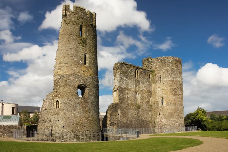
Marked faintly as a circular enclosure (diam. c. 45m) and described as the site of a fort and castle on the 1839 ed. of the OS 6-inch map. It is located on a slight S-facing slope in a low-lying landscape. This may be the site of the fort, presumably a bastioned fort, built in 1610 which had Capt. Denis Dale as its first commander and a garrison of six men. It was named in honour of Sir Arthur Chichester, the Lord Deputy. The fort was captured by rebels in 1641, and is described as a 'ruined fort' and the property of William Doyle in the Civil Survey (1654-56) (Simington 1953, 10). There is no description of it and there are no visible remains at ground level. (Hore 1900-11, vol. 6, 654; Jeffrey 1979, 245–6; Loeber and Stouthamer-Loeber 1987, 174, 187, 199).
The above description is derived from the published 'Archaeological Inventory of County Wexford' (Dublin: Stationery Office, 1996). In certain instances the entries have been revised and updated in the light of recent research.
Compiled by: Michael Moore
Date of upload/revision: 14 February 2012
This remains an important historical record, but the official description says the monument is no longer visible or has been destroyed.
The monument record does not grant public access. Check the route and ask the landowner before entering private land.