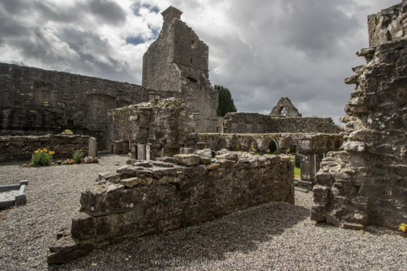
Add your own picture and explain the route, parking, gates, paths or landmarks that help people find it.
Earn 5 points after the picture is checked and accepted.
Add your photo and local directionsShare what you foundWhat is recorded here
It is marked 'Friary (Site of)' on the 1839 and 1940 eds of the OS 6-inch map. There are no other references to an ecclesiastical site here, although the land was known as Abbey Lands (Lewis, 1837, vol. 2, 15) and it is thought locally that it might have been an out-farm of the friary at Monature (WX003-017----). No feature is visible at ground level in the vicinity of a farmyard, although a stone mortar recovered in ploughing is kept at a nearby house. Archaeological testing (08E0176) and monitoring immedidately to the N failed to produce any related material (Ó Drisceoil 2011).
The above description is derived from the published 'Archaeological Inventory of County Wexford' (Dublin: Stationery Office, 1996). In certain instances the entries have been revised and updated in the light of recent research.
Compiled by: Michael Moore
Date of upload/revision: 14 February 2012
The monument record does not grant public access. Check the route and ask the landowner before entering private land.