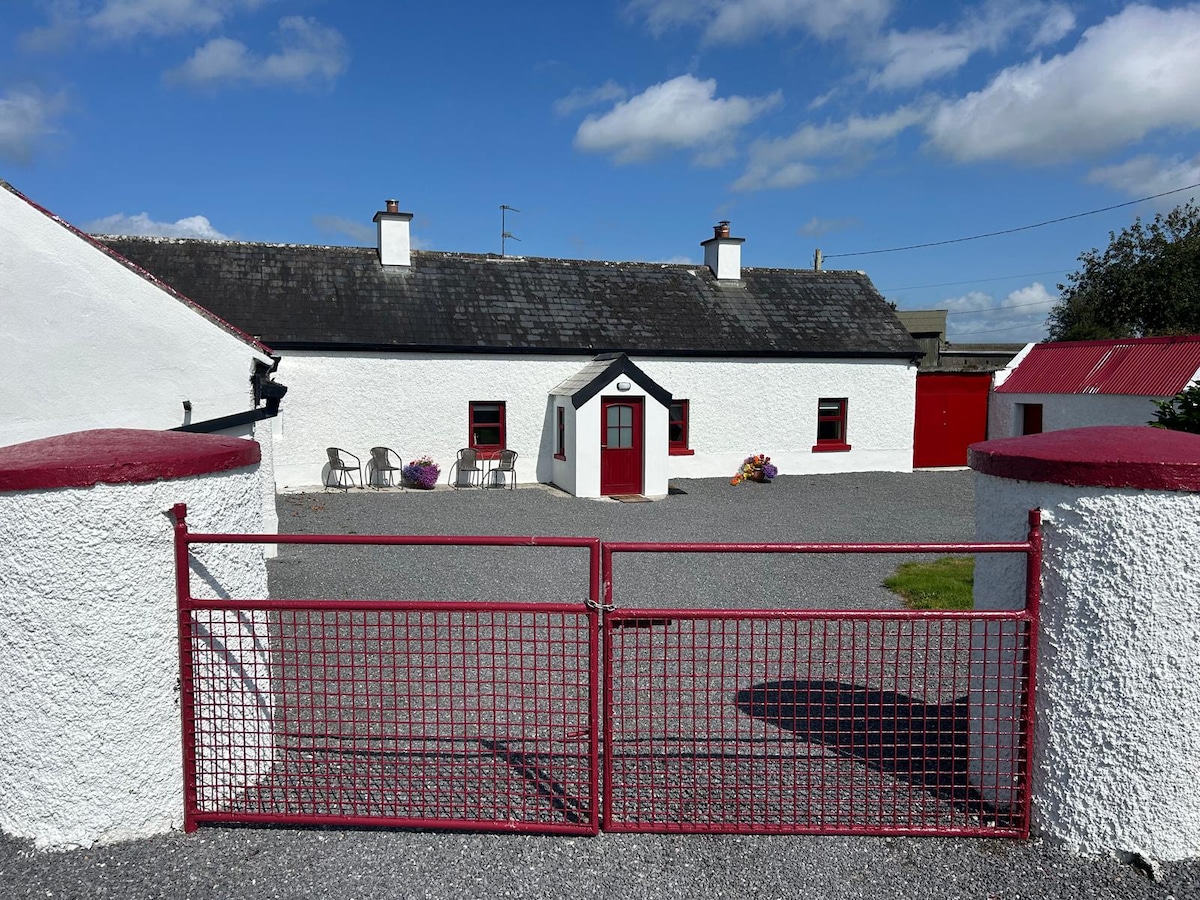
Add your own picture and explain the route, parking, gates, paths or landmarks that help people find it.
Earn 5 points after the picture is checked and accepted.
Add your photo and local directionsShare what you foundWhat is recorded here
Situated on top of a prominent hill, in pasture, with extensive views to S, W and N. In graveyard (WM038-029001-). Annotated ‘Kilnahorna Grave Yard’ on 1837 ed. OS 6-inch map where no church is depicted on this map. Possible building or burial plot shown on the revised 1910 ed. OS 25-inch map as a rectangular-shaped structure standing in W quadrant of an irregular-shaped graveyard (WM038-029001-). Possible levelled church site described in 1979 is a faint, low scarp outlining an irregular-shaped area in the W quadrant of the graveyard, which correlates to the location of the structure shown on the revised 1910 ed. OS 25-inch map. There is a large boulder in the centre of the graveyard, with some smaller stones visible to N which may simply derive from field clearance. The exact nature of this site is unclear, but it could have been a children's burial ground known locally as 'Kilnahorna' with a burial plot or some other structure depicted in the W quadrant of the graveyard. Possible church site not visible today on Digital Globe aerial photography.
Compiled by Alison McQueen, Vera Rahilly and Caimin O’Brien.
Date of upload: 18 December 2019
The monument record does not grant public access. Check the route and ask the landowner before entering private land.