Add your own picture and explain the route, parking, gates, paths or landmarks that help people find it.
Earn 5 points after the picture is checked and accepted.
Add your photo and local directionsShare what you foundWhat is recorded here
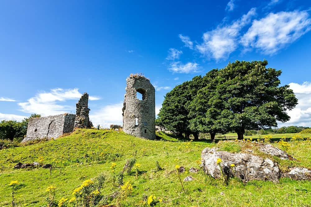
Situated on top of a ringwork (WM036-023001-), in pasture, with good views in all directions. The Athlone to Clara railway line is within 10m to NE. Depicted on the 1837 ed. OS 6-inch map as a square-shaped structure adjoining a long suboval-shaped enclosure to N and located in the townland of Castletown. Not shown on the revised 1910 ed. OS 25-inch map and now located in the townland of Bolinarra. The Boor River appears to have been canalised to N of the monument, removing the meandering loop to S. Levelled castle described in 1973 as no surface remains visible. The area of the monument is very much overgrown and is difficult to examine. A pile of earth and stone rises irregularly on top of the S half of the ringwork and may be associated with the castle ruin. Levelled castle site is obscured today by dense scrub on Digital Globe aerial photography.
Compiled by Alison McQueen, Vera Rahilly and Caimin O’Brien.
Date of upload: 28 November 2019
The monument record does not grant public access. Check the route and ask the landowner before entering private land.