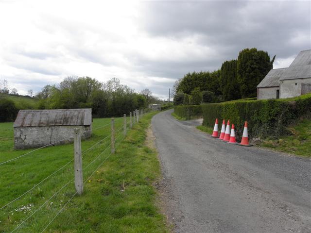
Add your own picture and explain the route, parking, gates, paths or landmarks that help people find it.
Earn 5 points after the picture is checked and accepted.
Add your photo and local directionsShare what you foundWhat is recorded here
The site (Wth 1.9m; D 0.13m) is orientated NNE-SSW and consists of brushwood (diam. 0.02-0.05m) predominantly of ash. The brushwood is up to six layers in depth and laid in three discrete bundles, with occasional pieces lying obliquely. Toolmarks were evident.
The monument record does not grant public access. Check the route and ask the landowner before entering private land.