Add your own picture and explain the route, parking, gates, paths or landmarks that help people find it.
Earn 5 points after the picture is checked and accepted.
Add your photo and local directionsShare what you foundWhat is recorded here
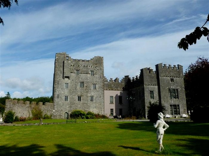
In pasture, with good views in all directions. Present remains consists of a small rectangular tower (ext. dims. 10.1m NE-SW; 7.25m NW-SE; int. dims. 7.45m NE-SW; 4.7m NW-SE; wall T 1.3m) aligned NE-SW surviving one storey high (H c. 4m), the NE wall of which has collapsed. On the 1837 ed. OS 6-inch map this tower is shown standing on the NW end of an L-shaped building marked as ‘Corcloon Ho.’. This house is not depicted on the revised 1910 ed. OS 25-inch map. Today there are no surface remains visible of the building marked as ‘Corcloon Ho’. The walls of the castle are built with random rubble with a slight base batter visible. The tower is entered through a pointed doorway in the SW wall located off centre to the S, close to the S angle of the castle. The pointed arch of the doorway is constructed with small thin slabs of stone. A large opening in the SE wall may be the remains of a broken out window. There are two openings visible in the NW wall, the opening closes to the N corner is probably due to collapse. A single jambstone visible on the other opening suggest that this feature is a broken out doorway. No castle is depicted in this townland on the 1657 Down Survey map of the parish of the Pass of Kilbride (NLI, MS 723-4). On this map the lands of Corcloon in 1640 belonged to William Bremingham (Bermingham), an Irish papist (ibid.). After the Irish Confederate Wars of 1641-53 the forfeited lands of William Bermingham were granted to Nathaniel Micklethwaite who is listed as the Protestant owner of these lands in 1670.
Compiled by: Caimin O’Brien
Date of upload: 24 July 2013
The monument record does not grant public access. Check the route and ask the landowner before entering private land.