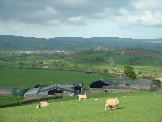
Add your own picture and explain the route, parking, gates, paths or landmarks that help people find it.
Earn 5 points after the picture is checked and accepted.
Add your photo and local directionsShare what you foundWhat is recorded here
Monument surveyed by the ASI in 1976 and described as 'a small roughly circular enclosure (diam. 23m N-S; 23m E-W) bounded by a low bank of earth and stone with very slight traces of a shalllow fosse on the N and W. The bank is best preserved on the N and W and is absent on the E where there is a low scarp at the edge of the site. The bank is defaced by animal tracks on the N, W and S but there is no sign of an original entrance. The interior is slightly uneven but there are no internal features. The site is on the N end of a N-S ridge in fairly good pasture. It has extensive views in all directions. Friary site (WM032-028001-) located 75m to the SSE' (SMR File 10/08/1976).
Compiled by: Caimin O'Brien
Date of upload: 16 February 2013
The monument record does not grant public access. Check the route and ask the landowner before entering private land.