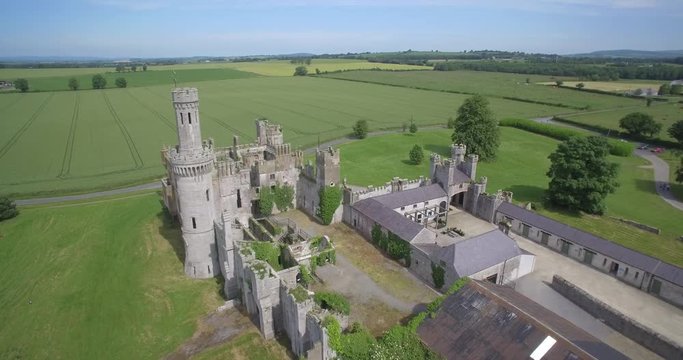
Add your own picture and explain the route, parking, gates, paths or landmarks that help people find it.
Earn 5 points after the picture is checked and accepted.
Add your photo and local directionsShare what you foundWhat is recorded here
Monument was levelled in 1965 during land improvement works. The site had been visited in 1965 and was described as following; ‘In undulating countryside (sheep grazing) beside L. Ennell. Most of the ‘monument’ area has been quarried away (limestone) not very recently. Very little of original surface remains. There is some of surrounding at SW and S (scarped edge 5’-6’ high, of natural hillock): elsewhere it has been levelled. Not apparently circular, but roughly sub-rectangular according to OS map. There is nothing now remaining to warrant the supposition that this was a ringfort, but it is not impossible. If so it has been destroyed to all intent of purposes’ (SMR File 31/03/1965). The site of this monument was visited by ASI in 1971 and described as following; ‘Completely demolished. A curve in the field fence on the E side marks the perimeter of the site. It consists of a modern scarp. The site is situated on top of a prominent rise, is under meadow now. The site slopes slightly from NNW-SSE. Good view of lake to the W and NW. Detailed observation not possible because of meadow’ (SMR File 23/06/1971).
Compiled by: Caimin O'Brien
Date of upload: 14 February 2013
This remains an important historical record, but the official description says the monument is no longer visible or has been destroyed.
The monument record does not grant public access. Check the route and ask the landowner before entering private land.