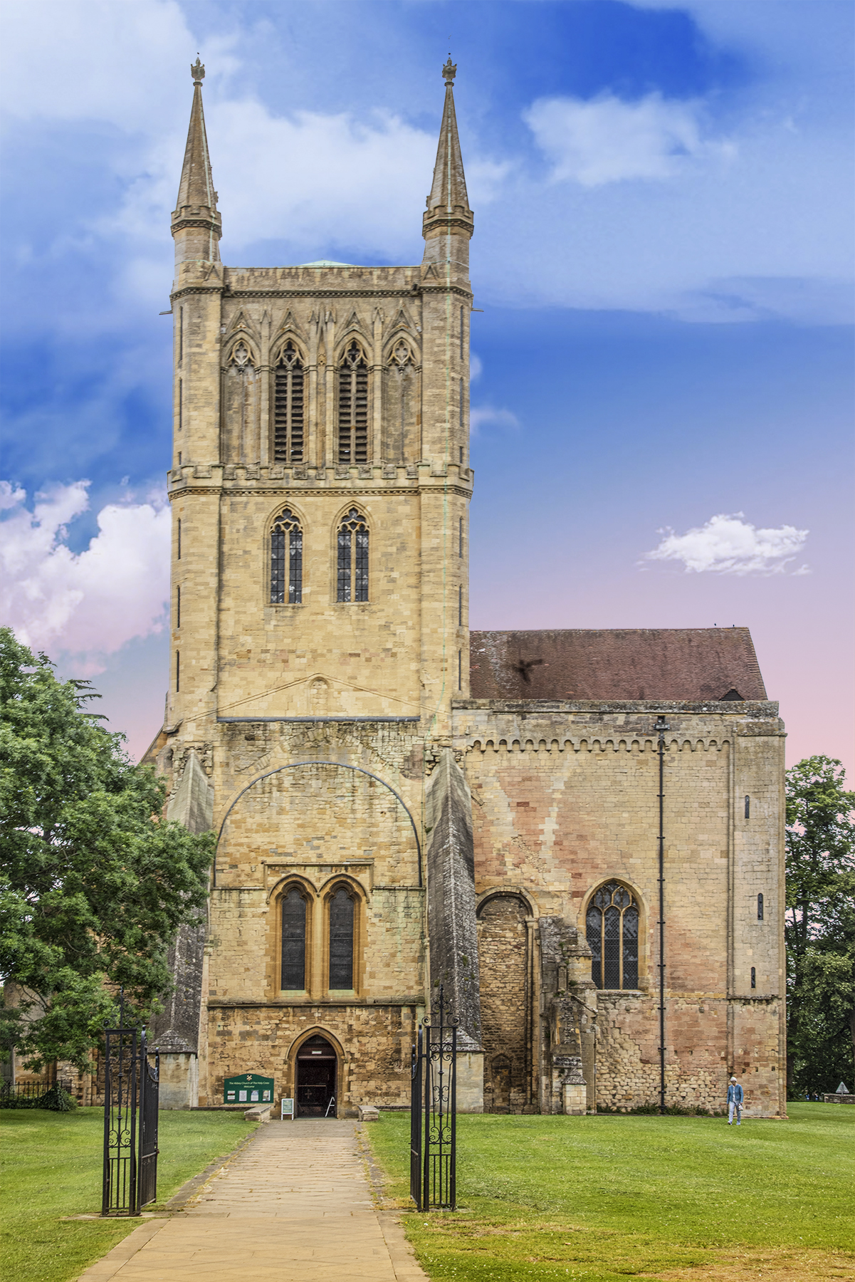
Add your own picture and explain the route, parking, gates, paths or landmarks that help people find it.
Earn 5 points after the picture is checked and accepted.
Add your photo and local directionsShare what you foundWhat is recorded here
Only a short portion of the upstanding remains of the E gable (L. 3.2m; H 2m; T 1.5m) of the medieval parish church of Ardnurcher dedicated to St. David can be seen standing in the graveyard (WM031-098001-), 12m E of the 19th century Church of Ireland church. This section of wall contains the N splay of the E window embrasure of the medieval church of Ardnurcher. On the 1837 ed. OS 6-inch map a building (dims. 10.3m E-W by 5.2m N-S; wall T -.5m) depicted as ‘Abbey’ is shown standing 30m E of the Church of Ireland church where it is running off the E wall of the graveyard. It has been suggested that this ‘Abbey’ building represents the remains of the medieval parish church (Bradley et. al. 1985, 16), however it is likely that this structure of which only the grass covered wall footings survives, represents the remains of a post-medieval family burial enclosure as its walls only measure 0.5m thick.
The medieval church of Ardnurcher is located on top of high ground with good views in all directions, with motte and bailey castle (WM031-099---) 175m to E. Medieval borough (WM031-104----) in the fields adjoining the church, this settlement was defended by a town wall (WM031-107---) the remains of which can be seen 160m to SE and 185m to W. The church and stone castle of Ardnurcher are depicted on the 1656 Down Survey map of Ardnurcher parish (NLI MS 723-4).
According to the Urban Survey of Westmeath (Bradley et. al. 1985, 16), the earliest reference to the existence of a church at Ardnurcher is in 1259/60 when William de Geinville [Geneville] is mentioned as rector of the church of ‘Arthinurchir’ [Ardnurcher] (Cal. doc. Ire., 105). In 1306 the ‘Church de Ardnurcher’ is valued at 26 marks (Cal doc. Ire., 266). In 1400 the parishioners of Fercall complained that ‘by reason of the distance of their said country, eight English miles, as well as of wars, access to their parish church of St. David, Achanurcayr [Ardnurcher], in the said diocese, for divine offices and the sacraments, baptisms and burials, is very difficult, especially in the winter and rainy season’ (Cal. papal letters, 314). As a result of these difficulties the parishioners of Fercall requested that ‘the chapel of St. Colman, Lyndela [Lynally / OF016-031001-], in the said country, were subjected the chapels, in the same country, of Rachayn [Rahan / OF016-015001-], Kylleacy [Killoughy / OF032-005001-], Ralyfey [Rathlihen / OF024-036----], Athalvy [Ballyboy / OF031-044----], Drumeulynd [Drumcullen / OF036-028001-] and Eglays [Eglish / OF030-016----] all daughters chapels of and annexed to St David’s, it would be fit for erection into a parish church’ (ibid.). The following year in 1401 a petition was sent to the Pope by ‘king Henry, Edmund earl of March, and Nicholas Wattonhull, rector of St. David’s, Achnurhir [Ardnurcher]’ (Cal. papal letters, 406). This petitions stated that ‘the patronage of St. David’s, a mother church, and all of its chapels or daughter churches, belongs by ancient custom to the earl of March when of lawful age, and, by right the crown, belongs to the king when the earl is a minor’ (ibid.) . In 1563 it was granted ‘with its member and chapels’ to Sir Edmund Butler of Cloghrennan, Co. Carlow (Curtis 1945, 65). In Bishop Dopping’s visitation of 1682-5 the nave is described as ‘in bad repair but the parishioners are mending it’ (Ellison 1975, 3). He further notes that the chancel was ruined, the windows are unglazed and the floor was of earth. In 1682 Sir Henry Piers wrote that in Ardnurcher there was ‘a late built church, but on old foundations, the roof whereof is a most curious frame, and according to the new model of architecture; this is a mother church to sixteen or more churches and chapels in this and the King’s County [Offaly]’ (Vallancey 1786, 84-5).
The Urban Survey of Westmeath (Bradley et. al. 1985, 16) recorded that the ‘remains survive in two sections, a rectangular building marked ‘Abbey’ on the OS 6-inch map on the graveyard perimeter wall, and a masonry fragment east of the 19th century C of I parish church. The rectangular structure has max. dims. of 10.3m by 5.2m and only its foundations, which are about 25cm high by 50cm wide, survive. The masonry fragment 12m east of the church is of roughly coursed limestone with a rubble core. It is 1.55m high, 3.5m long and 1.5m wide. The remains of a window splay are present at the south end’. The present Church of Ireland building was described by the National Inventory of Architectural Heritage as a ‘Freestanding Church of Ireland church, built c.1810, comprising three-bay hall with attached three-stage tower on square-plan to the west with a raised parapet with Irish-style crenellations’ (www.buildingsofireland.ie).
Compiled by: Caimin O'Brien
Date of upload: 18 August 2014
The monument record does not grant public access. Check the route and ask the landowner before entering private land.