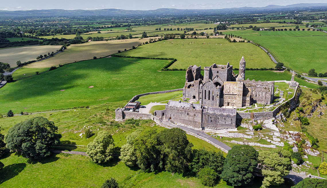
Add your own picture and explain the route, parking, gates, paths or landmarks that help people find it.
Earn 5 points after the picture is checked and accepted.
Add your photo and local directionsShare what you foundWhat is recorded here
Situated on the edge of a rise, in gently undulating pasture land, with good views of the surrounding landscape. Depicted on the 1910 ed. OS 25-inch map as the arc of a scarp, which based on the curvature, formed the western arc of a larger earthwork. Monument described in 1973 as a roughly semicircular-shaped area (diam. 36m N-S) defined by a scarp from S-W-N. A low bank can be traced from NE-E-SE. There is a gap from N-NE. The interior is level with a depression near the scarp at S. The ground level to W of the embankment is lower than the interior. Partially levelled ringfort visible today as a tree-lined arc of a bank from SSW-W-NNW and what appears to be a vague cropmark from NNW-N-E-S-SSW on Digital Globe aerial photography. This ringfort may have been reused as a burial mound during the 17th century.
Compiled by Alison McQueen, Vera Rahilly and Caimin O’Brien.
Date of upload: 11 November 2019
The monument record does not grant public access. Check the route and ask the landowner before entering private land.