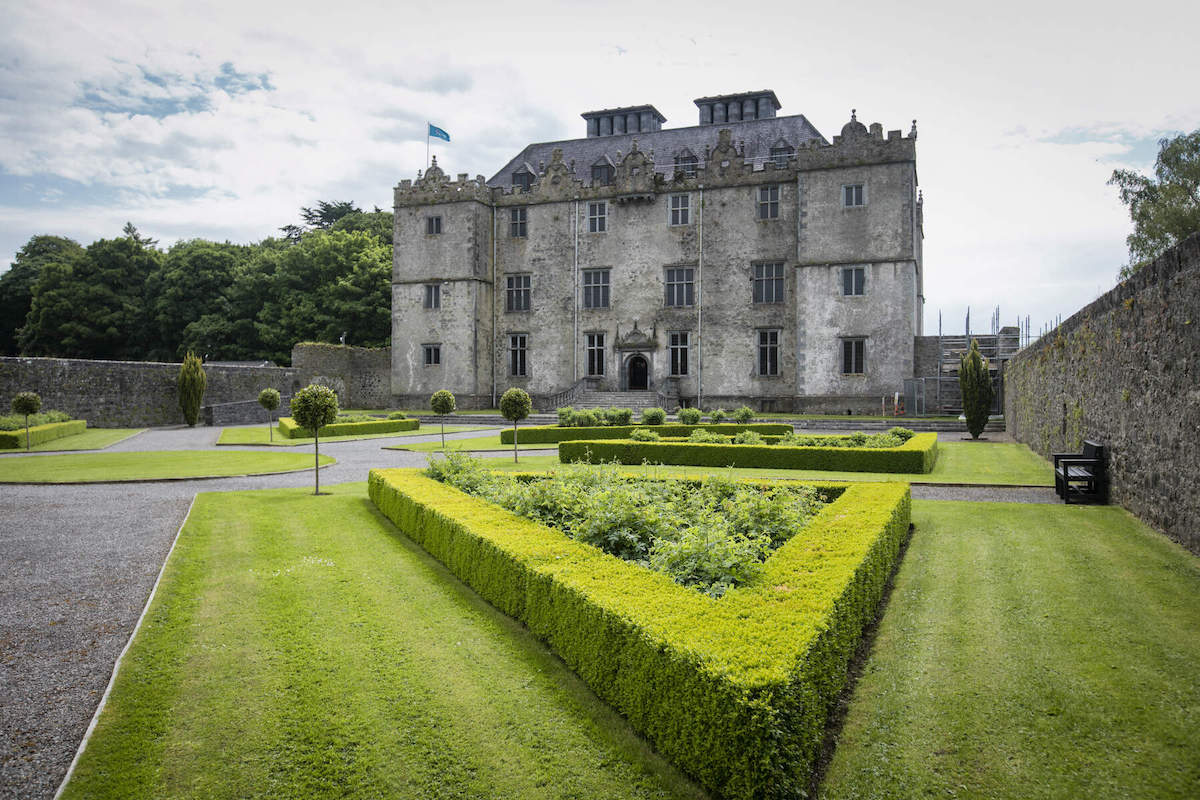
Add your own picture and explain the route, parking, gates, paths or landmarks that help people find it.
Earn 5 points after the picture is checked and accepted.
Add your photo and local directionsShare what you foundWhat is recorded here
Situated on top of high ground with good views in all directions with corn mill 45m to SE. A pile of rubble lying on the surface of the field known locally as the 'haggard' marks the site of a post-medieval barn which was built with cut stone from Ballycloghduff Castle. A rectangular building depicted on the first edition of the OS 6-inch map may be this agricultural outbuilding. The outbuilding which was built with cut stone from the medieval castle may have been built on the site of the levelled castle. It is possible that the castle may have been located elsewhere within the vicinity of the haggard field as there are no surface remains of the castle site in the field known locally as the haggard. However the quantity of cut stone from the medieval castle which has been incorporated into the levelled agricultural outbuilding makes this field the most likely location for the castle. The stone wall enclosing this field contains dressed cut stone from the castle including one fragment of a spandrel from a possible ogee-headed single light window. At the nearby corn mill a second fragment of a similar window spandrel has been incorporated into a section of the mill race of the mill.
In 1612 Robert Dillon of Cannorstown was granted a 'castle, a bawn, 30 houses, a water-mill (WM030-131----)' in the townland of 'Bealanecloghduffe and Killnedrae' (Cal. pat. rolls Ire., Jas I, 228). This castle is depicted as a tower house type fortification on the 1659 Down Survey map of Drumrany parish where it is shown standing beside a medieval watermill (WM030-131----) on the W bank of the Tang River (NLI, MS 723-4). The terrier of the 1659 Down Survey parish map recorded that in 1641 this castle and the lands of 'Ballinacloghduffe & Ruans' amounting to 380 plantation acres of profitable land belonged to the 'Irish papists', Henry Dillon and John Dillon (Ibid.). The terrier of Drumrany Parish map record that there was in 'Belanagh Cloghduffe & Ruans a Castle and a Mill' (Ibid.). The present corn mill appears to be standing on the site of the medieval watermill depicted on the Down Survey map. A male exhibitionist figure (WM030-020----) cemented into the gate pillar of the entrance avenue to Ballycloghduff House located 90m to the W came from the site of the medieval castle. Punch-dressed stone of 16th / 17th century date which was taken from the levelled castle site has been reused in building of the gate pier to the entrance driveway of Ballycloghduff House and in parts of the mill race of the adjoining corn mill.
Compiled and revised by: Caimin O'Brien
Date of revised upload: 24 July 2015
The monument record does not grant public access. Check the route and ask the landowner before entering private land.