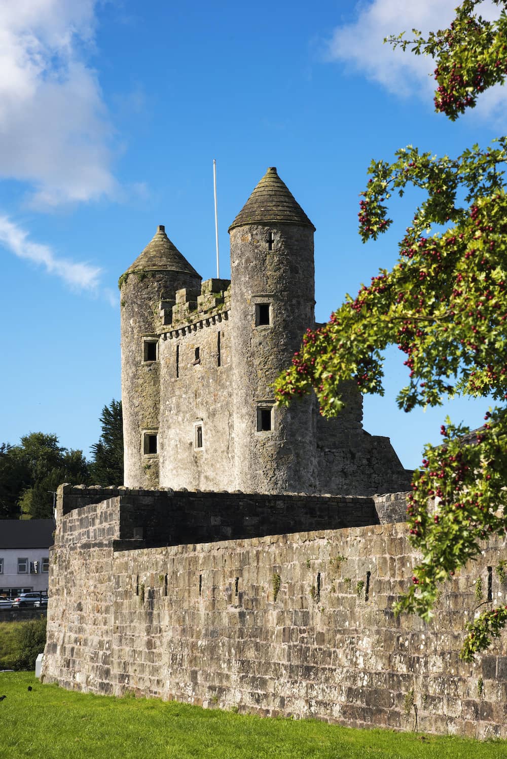
Add your own picture and explain the route, parking, gates, paths or landmarks that help people find it.
Earn 5 points after the picture is checked and accepted.
Add your photo and local directionsShare what you foundWhat is recorded here
Situated on a ridge running E-W, in pasture, with good views in all directions. Enclosure (WM030-102----) lies c. 135m to WSW. Depicted on the 1837 ed. OS 6-inch map as a rectangular-shaped structure running NW-SE. Depicted on the revised 1910 ed. OS 25-inch map as a long, narrow linear structure annotated ‘Castle (in Ruins)’. O’ Donovan (OSL 1837, 15) recorded that the ruins of this castle belonged to the O’Melaghlins. According to Cox (1972, 32, 40-1, 47) there is reference to a castle at Farnagh in 1539 and again when it was decreed to Lord Dillon in 1663. It was apparently sold to Robert Mulock in 1748 (ibid).
Farnagh Castle described in 1976 as a rectangular-shaped building defined by the remains of the W wall (max. H c. 5m; L 10m; T 1.1m) running NW-SE and by a slight trace of mounding along the remains of the N wall. There is no trace of the E or S wall. There is a large breach in the lower central area of the W wall which is defined by a splayed window reveal (basal Wth 1m). The quoin stones are missing and there are no other features visible in the W wall. The masonry is very large roughly hewn conglomerate and limestone with no dressed stone visible. There is some loose collapse within and without. There are no earthworks visible in the vicinity. Castle is visible today as a linear structure on Digital Globe aerial photography.
Compiled by Alison McQueen, Vera Rahilly and Caimin O’Brien.
Date of upload: 09 November 2019
This remains an important historical record, but the official description says the monument is no longer visible or has been destroyed.
The monument record does not grant public access. Check the route and ask the landowner before entering private land.