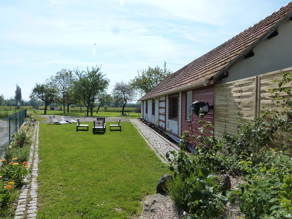
Add your own picture and explain the route, parking, gates, paths or landmarks that help people find it.
Earn 5 points after the picture is checked and accepted.
Add your photo and local directionsShare what you foundWhat is recorded here
Situated at the base of a S-facing rise, in relatively low-lying tillage. Ringfort (WM026-058----) lies c. 75m to W. Not depicted on the 1837 ed. OS 6-inch map or the revised 1913 ed. OS 25-inch map. Monument described in 1971 as the remains of a subrectangular-shaped earthwork defined by a shallow V-shaped fosse visible along the W, N and E sides, curving at the NW and NE corners. The S portion of the monument has been intersected by a modern field bank running ENE-WSW and the fosse is not visible there. The remains of a building (WM026-059001-) are visible within the S area of the surviving portion. Two low parallel banks running NNW-SSE extend to SSE from the inner edge of the fosse towards the structure. A field description from 1976 indicates that there is some brick incorporated into the walls and fragments of brick are lying on the ground in the immediate vicinity. The modern field fence running NE-SW has been removed. No surface remains visible today of the enclosure on Digital Globe aerial photography.
See attached plan and profile surveyed and drawn by the ASI.
Compiled by Alison McQueen, Vera Rahilly and Caimin O’Brien.
Date of upload: 02 October 2019
This remains an important historical record, but the official description says the monument is no longer visible or has been destroyed.
The monument record does not grant public access. Check the route and ask the landowner before entering private land.