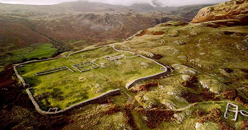
Add your own picture and explain the route, parking, gates, paths or landmarks that help people find it.
Earn 5 points after the picture is checked and accepted.
Add your photo and local directionsShare what you foundWhat is recorded here
Situated on a low rise in undulating pasture. Depicted on the revised 1913 ed. OS 25-inch map as a roughly oval-shaped earthwork, annotated ‘Whelan’s Fort’. Monument occupied by a grove of trees on the revised 1913 ed. OS 25-inch map. Monument described in 1971 as an oval-shaped area (dims. 40m NW-SE; 36.3m NE-SW) enclosed by an earth and stone bank and an external fosse. The bank is substantial and is best preserved from SW-WSW-W and there are slight disturbance gaps at W and NNW. It is much disturbed at SW where a large stone juts out of the exterior. A large stone is visible on the inner face of the bank at E and another at ESE and there are remains of an internal stone facing along the base from NE-E. A wide shallow fosse is visible from SW-S-E-ENE and there is a large quarry hole just outside it at NW. The entrance gap (Wth at top approx. 5.4m; basal Wth 2.3m) is at E which is defined by a large stone on the inner corner of the N side. The interior has a general ESE-facing slope with some large stone outcrops. A house site (WM026-056001-) is located in the W quadrant.
See attached profile of monument surveyed and drawn by the ASI.
Compiled by Alison McQueen, Vera Rahilly and Caimin O’Brien.
Date of upload: 02 October 2019
The monument record does not grant public access. Check the route and ask the landowner before entering private land.