Add your own picture and explain the route, parking, gates, paths or landmarks that help people find it.
Earn 5 points after the picture is checked and accepted.
Add your photo and local directionsShare what you foundWhat is recorded here
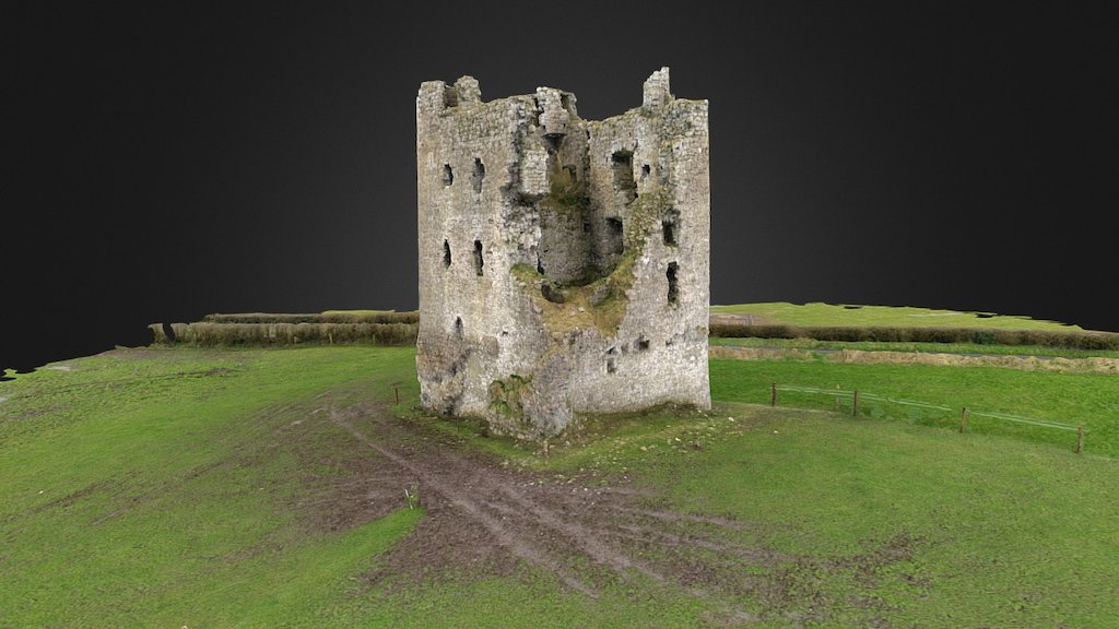
Dysart House may have been located on the site of Dysart Castle (WM025-169----) and bawn (WM025-169001-) listed in a 1609 land grant to Sir Robert Nugent of Walshestown (WM018-155----). In this year Sir Robert Nugent was granted the manor of Disert [Dysart] which included 'a castle; a hall, and a stone bawn (WM025-169001-), with a lough, a stable, two barns, a haggard, 40 messuages, 50 gardens, and a fish pond (WM025-169002-) in Disert' (Cal. pat. rolls Ire., Jas I, 196). Numerous earthworks are visible on Digital Globe aerial photographs taken November 2011 in the area where the ruins of Dysart House are shown on the 1837 ed. OS 6-inch map and in the fields to the E of Dysart church (WM025-110002-) and graveyard (WM025-110004-).
This castle site may have been built on or close to the site of an Anglo-Norman earth & timber castle described in 1302-03 'a small, weak, and ruined fort', belonging to Ralph Pippard, lord of Dysart manor (Cal. doc. Ire., 65). Hugh de Lacy kept the manorial lands of Dysart in his possession when granting the barony of Magheradernon to William le Petit in the late 12th century (Orpen 1920, 167). In this grant Hugh de Lacy retained possession of the 'lake and vill of Dysart' (ibid.). This lake may be the pond (WM025-169002-) located 240m to the W of Dysart House. In the early 13th century the lands of Dysart were held of Walter de Lacy by William Pipard, son of Ralph Pipard (ibid., 168). In 1301 Ralph Pipard sold the lands of Dysart Manor to King Edward I. In 1302-03 an inquisition into the extent of the Manor of 'Dyssard' was held at Dysart. The jurors of the inquisition recorded that Ralph Pippard, lord of Dysart Manor possessed at Dysart 'a small, weak, and ruined fort, which together the with the messuage is worth nothing a year' (Cal. doc. Ire., 65).
The precise location of this 'ruined fort' has not been identified but it may have been located in the field to the E of Dysart church (WM025-110002-) and graveyard (WM025-110004-). This Anglo-Norman 'fort' may have taken the form of a ringwork rather than a mote & bailey castle. There is no evidence for any motte like earthwork in the fields surrounding Dysart church and graveyard. A group of three sub-triangular-shaped earthworks (WM025-112-/113-/114-) and a field system (WM025-111001-/111002-) in the field 420m to the S of Dysart church and graveyard could be related to the Anglo-Norman manor of Dysart.
Compiled by: Caimin O'Brien
Date of upload: 14 November 2017
The monument record does not grant public access. Check the route and ask the landowner before entering private land.