Add your own picture and explain the route, parking, gates, paths or landmarks that help people find it.
Earn 5 points after the picture is checked and accepted.
Add your photo and local directionsShare what you foundWhat is recorded here
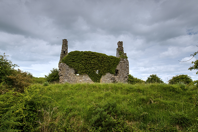
Situated in pasture. Annotated 'Dundonnell Castle' and depicted on the 1837 ed. OS 6-inch map as a rectangular-shaped building with its long axis aligned NW-SE. A rectangular-shaped enclosure is shown running off S end of W wall of castle. On the 1837 map the castle appears to be standing in N corner of a rectangular-shaped enclosure which could represent the remains of a bawn (WM025-010001-). Castle described in 1978 as no surface remains visible. Earthworks clearly visible to the N of the castle appear to represent the remains of a field system. Linear earthwork to NE of castle and bawn probably represents the remains of a medieval roadway (WM025-010002-) leading into the castle and bawn. This sunken way defined by a two linear banks is clearly visible today on Digital Globe aerial photographs.
Compiled by Alison McQueen, Vera Rahilly and Caimin O’Brien
Date of upload: 03 September 2019
The monument record does not grant public access. Check the route and ask the landowner before entering private land.