Add your own picture and explain the route, parking, gates, paths or landmarks that help people find it.
Earn 5 points after the picture is checked and accepted.
Add your photo and local directionsShare what you foundWhat is recorded here
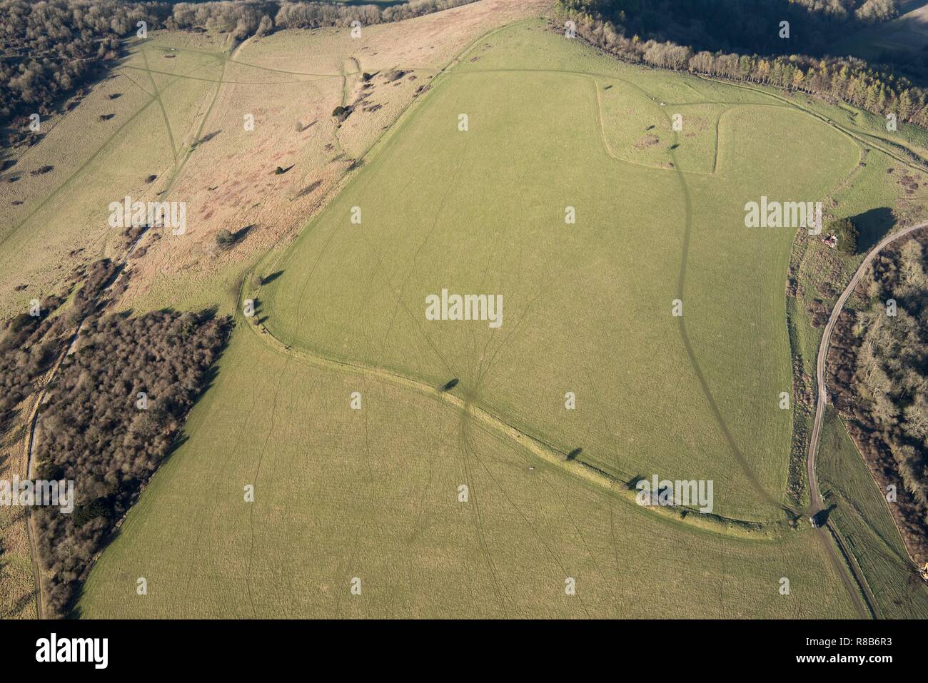
The largest monument at Uisneach, this enclosure is defined by a curvilinear ditch measuring nearly 200m in diameter and straddles three adjoining townlands on the E summit of the Hill (Schot 2010, 8-9; Schot 2011). A prominent mound (WM024-173---) crowns the gently rounded rise at the centre of the enclosure, while on the SW the enclosure overlooks Lough Lugh (WM024-064002-), which lies c.50m downslope.
The SW sector of the enclosure was first recorded by geophysical survey in 2005 and a segment of its silted-up ditch can still be traced as a broad, shallow depression curving from NNW to SE near Lough Lugh. Further survey in 2009 revealed the full extent of the enclosure, which is sub-circular in plan (ibid., 103–4). The NW sector of the enclosure and portions of its S perimeter underlie, and are now obscured by, the townland boundary walls that divide Mweelra from Ushnagh Hill and Rathnew, respectively. For most of its circuit, however, the enclosure is evidenced geophysically as a curvilinear band of positive magnetic gradient, 2m in average width. Although the ditch appears to have been relatively substantial, and may be rock-cut, no traces of an accompanying bank have been identified. The magnetic signature of the enclosure on the E and SE is notably weaker than elsewhere along its circuit, probably as a result of extensive ploughing in this area in recent centuries. Notwithstanding this disturbance, the entrance to the enclosure is clearly discernible on the NE, and comprises a gap, c.4m wide, defined on the N by a distinctive, inward-curving terminal. Several other, narrower, breaches are also apparent elsewhere in the line of the enclosure; however it is uncertain whether these are deliberate features. They may, for example, be the result of later disturbance or could simply reflect the presence of different (non-magnetic) fills in the ditch. Some half a dozen pit-type features, 1-2m in diameter, were recorded at various points along the line of the enclosure and may mark the location of post-pits or deposits placed in the ditch.
In addition to the mound (WM024-173---) at its centre, several ring-ditches and a large number of pits were recorded by geophysical survey inside and surrounding the enclosure, as were a range of other potentially significant, but less clearly defined, features. Comparison with the large-scale ceremonial enclosures at other prehistoric assembly places, including the royal centres of Tara, Navan Fort and Rathcroghan, suggests a late prehistoric (possibly Iron Age) date for this hilltop enclosure (ibid., 104).
Compiled by: Dr. Roseanne Schot
Date of upload: 08 May 2019
The monument record does not grant public access. Check the route and ask the landowner before entering private land.