Add your own picture and explain the route, parking, gates, paths or landmarks that help people find it.
Earn 5 points after the picture is checked and accepted.
Add your photo and local directionsShare what you foundWhat is recorded here
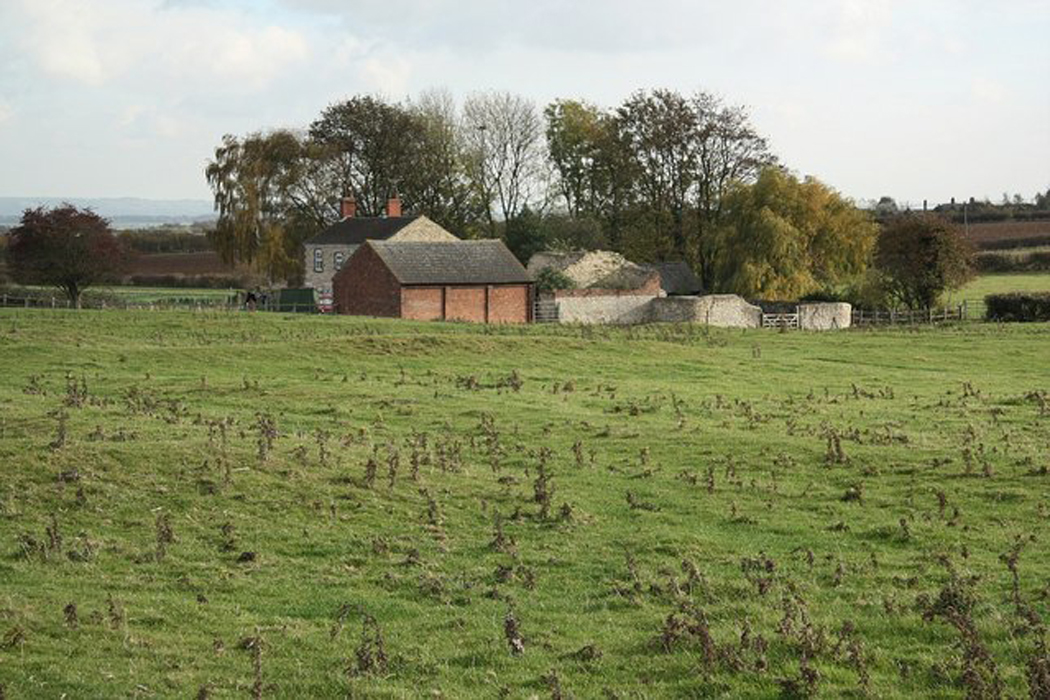
Situated in low lying, gently undulating, wet pasture, Anglo-Norman motte and bailey castle (WM023-013001-) 190m to SSE. Not depicted on the 1837 OS 6-inch map or the revised 1913 ed. OS 25-inch map. Monument described in 1981 as an extensive system of ridges and depressions which may represent a medieval settlement. Some on the higher and drier ground may be archaeological whilst others on the low lying ground appear to be the remains of drainage features.
Compiled by Alison McQueen, Vera Rahilly and Caimin O’Brien.
Date of upload: 23 July 2019
The monument record does not grant public access. Check the route and ask the landowner before entering private land.