Add your own picture and explain the route, parking, gates, paths or landmarks that help people find it.
Earn 5 points after the picture is checked and accepted.
Add your photo and local directionsShare what you foundWhat is recorded here
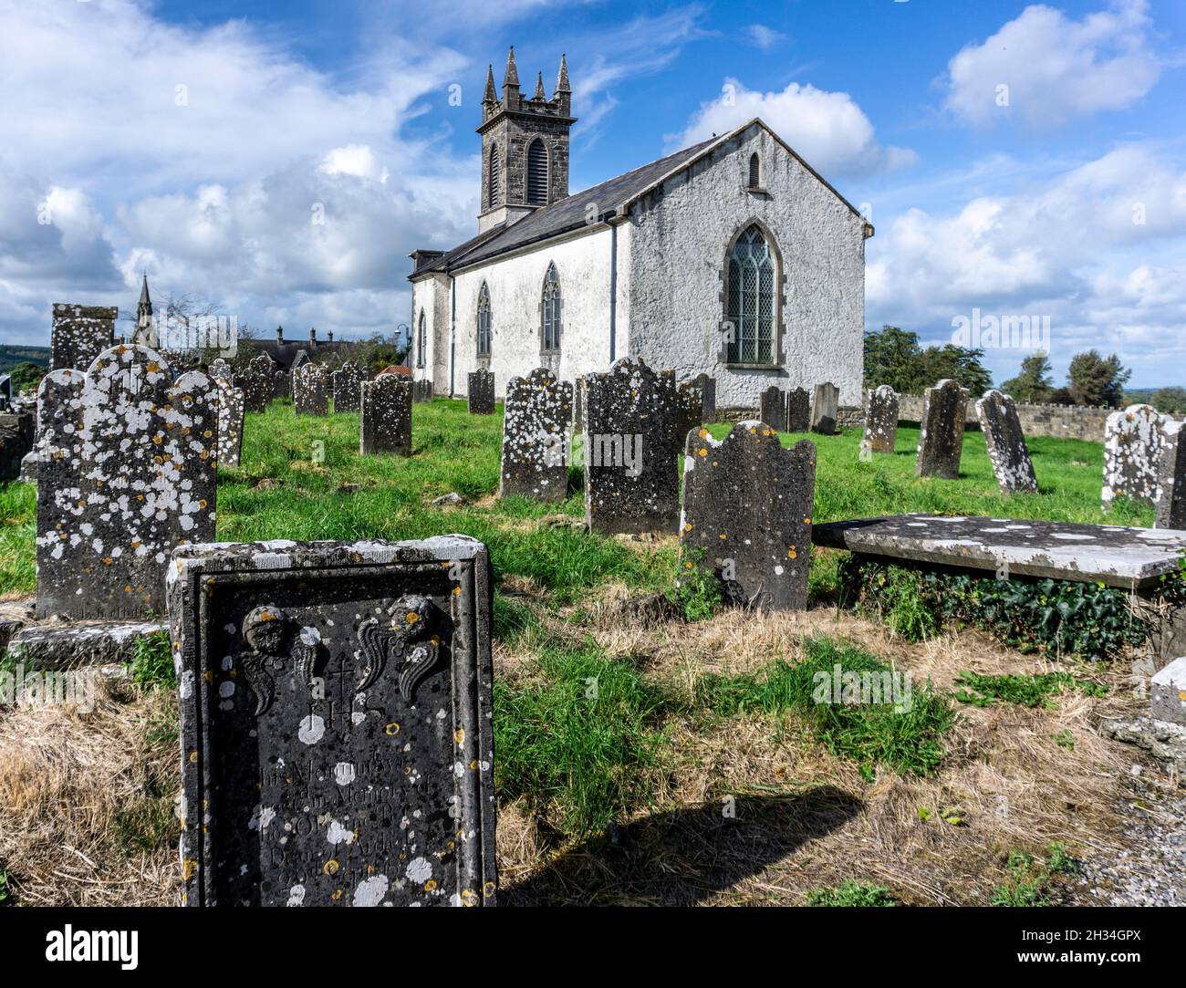
The terrier of the 1655 Down Survey map of Farbill Barony stated that 'at Griffinstowne & Corbittstowne are two old Chappells that at Corbettstowne being called Killpatrick's Church [WM020-049----] hath some ash trees about it & near a well called Killpatrick well in great repute among the Irish Inhabitants' (NLI, MS 723-4). According to local folklore this church was known locally as Scarden or Scártán Church (The Schools’ Collection, Volume 0727, Page 018). The folklore of this area known as Scarden is closely connected with St. Patrick and 'is mentioned by O'Donovan in his "Letters" as the place called Scártán - a little brake where St. Patrick stopped on his way to Clonard' (ibid.). According to the Schools' manuscripts there was 'A slab of tombstone forms a shelter over the well and on the stone is the following inscription' (The Schools’ Collection, Volume 0727, Page 019). The well was described in 1938 as following; 'We have there Saint Patrick's well, where a patern or patron day used to be held in olden times on the fifteenth of August, from Sunday. previous to the Sunday afterwards. Many still go there and say cures are got there. Prayers and rosaries are said and visits made around it. Pieces of cloth are still left around the well. The well comes from a hill on its South side and track and trenches and mounds indicate remains of a building of some sort and probably a graveyard' (ibid.)
Situated on a gentle N-facing slope, in undulating pasture. St Patrick's holy well described in 1983 as a surface spring which rises on a gentle slope and flows northwards. It is defined by a loose arrangement of stones, however there is no attempt to enclose it with formal walls. The well is situated within a trapezoidal-shaped enclosure (dims. 20m N-S; min. 16m E-W) which is delineated by a low bank with a shallow fosse on the exterior. Monument is not visible on Digital Globe aerial photography due to the trapezoidal enclosure being obscured by trees and scrub.
Compiled by: Alison McQueen, Vera Rahilly and Caimin O’Brien
Date of upload: 04 July 2019
The monument record does not grant public access. Check the route and ask the landowner before entering private land.