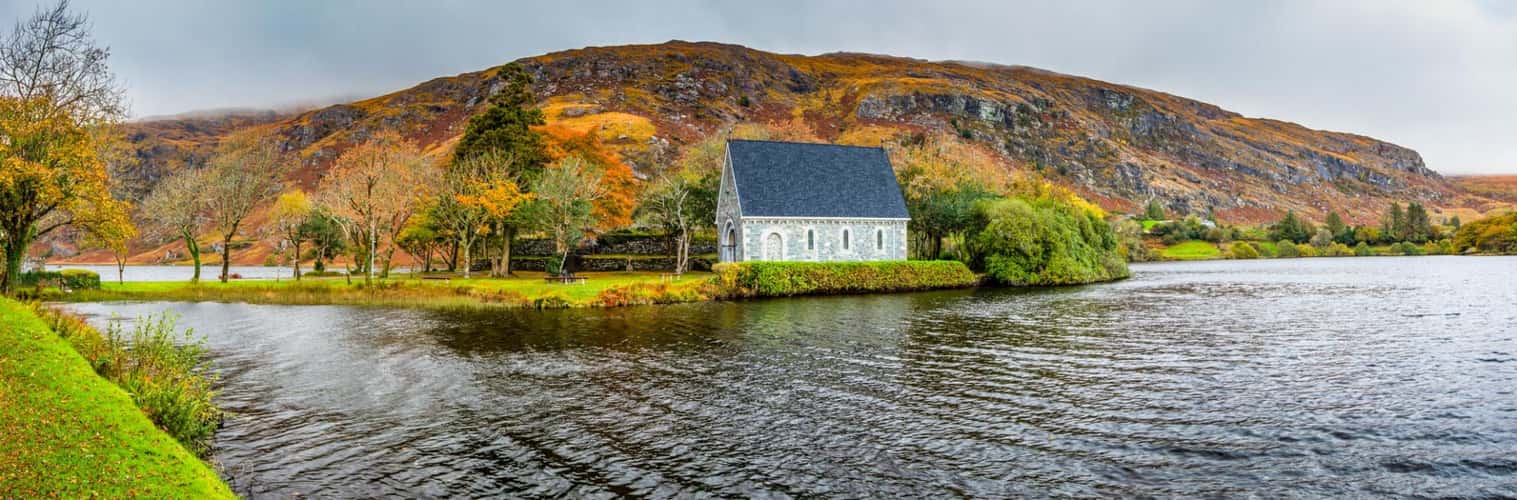
Add your own picture and explain the route, parking, gates, paths or landmarks that help people find it.
Earn 5 points after the picture is checked and accepted.
Add your photo and local directionsShare what you foundWhat is recorded here
Situated on a slight rise, in gently undulating pasture, with good views in all directions. Depicted on the 1837 OS 6-inch map as an oval-shaped earthwork (approx. dims. 37m NE-SW; 35m NW-SE), however only depicted on revised OS maps as the arc of a scarp (H 0.65m) from ENE-S-W.
Levelled monument described in 1998 as a short arc of bank (dims. L 5m; H 30-40cm) forming the SE perimeter of the earthwork. There are no other traces of the monument which appears to have been levelled. An ESB pole has been erected c. 1.4m inside the surviving arc. The farmhouse marked on the revised 1913 ed. OS 6-inch map appears to have extended the garden very slightly to S. Levelled monument is not visible on Digital Globe aerial photography.
Compiled by: Alison McQueen, Vera Rahilly and Caimin O’Brien
Date of upload: 06 June 2019
The monument record does not grant public access. Check the route and ask the landowner before entering private land.