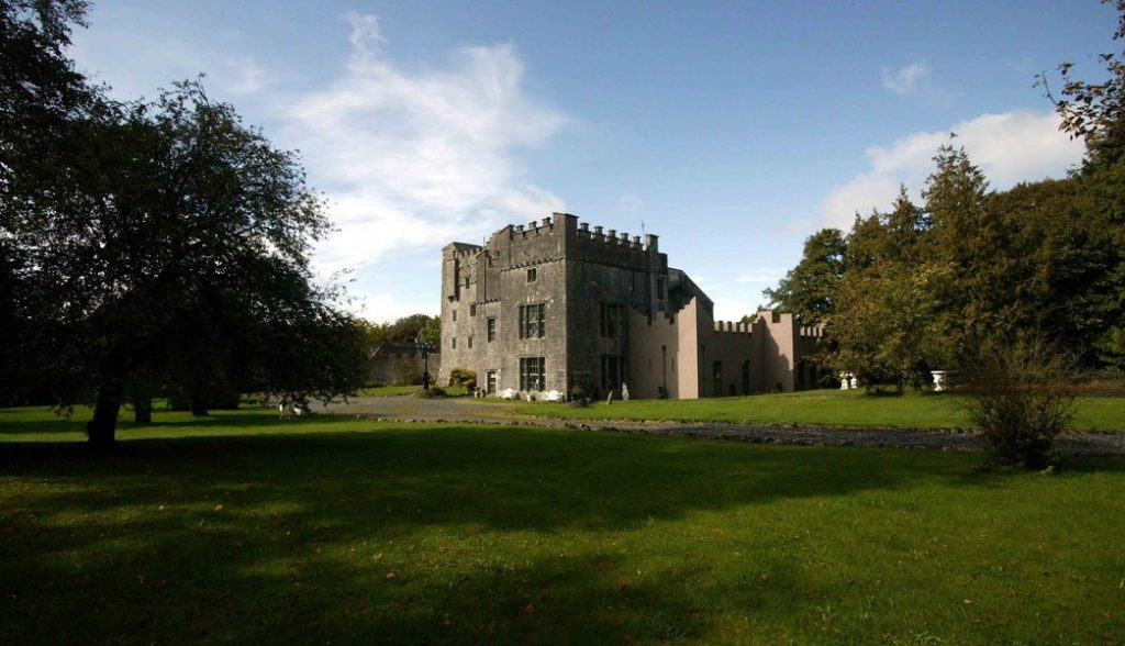
Add your own picture and explain the route, parking, gates, paths or landmarks that help people find it.
Earn 5 points after the picture is checked and accepted.
Add your photo and local directionsShare what you foundWhat is recorded here
Situated on a low ridge, in pasture, with extensive views in all directions. Hopestown Church (WM018-139----) located 310m to N. Depicted on the 1837 ed. OS 6-inch map as a rectangular-shaped structure annotated ‘Castle (in ruins)’ with the outline of a large subrectangular-shaped area adjoining to SW which possibly represents the remains of a bawn (WM018-140001-). Depicted on the revised 1913 ed. OS 25-inch map as an oval-shaped earthwork annotated as ‘Castle (site of)’. No castle is depicted in the townland of Hopestown on the 17th century Down Survey map of Mullingar parish (NLI, MS 723-4). In 1641 the lands of Hopestown belonged to Richard Hope who is described as 'Irish papist' (ibid.).
Hopestown castle and bawn consists of a small subrectangular-shaped earth and stone mound (14.7m NE-SW; 10.5m NW-SE) defined by an earth and stone bank which represents the collapsed rubble of Hopestown Castle. The area to E of the castle appears to have been disturbed by post-1700 quarrying. The remains of a bawn (WM018-140001-) adjoin the SW side of the castle. Site of castle and bawn are visible today as an oval-shaped earthwork with L-shaped stretch of bawn wall on Digital Globe aerial photography.
Compiled by: Alison McQueen, Vera Rahilly and Caimin O’Brien
Revised by: Caimin O'Brien
Date of revised upload: 22 February 2019
The monument record does not grant public access. Check the route and ask the landowner before entering private land.