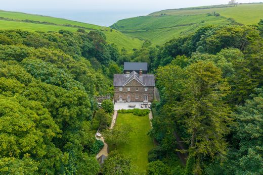
Add your own picture and explain the route, parking, gates, paths or landmarks that help people find it.
Earn 5 points after the picture is checked and accepted.
Add your photo and local directionsShare what you foundWhat is recorded here
Within E quadrant of large hilltop enclosure or possible henge (WM018-134---) a raised platform defined by an earthen bank may represent the remains of a small rectangular house site. This rectangular enclosure is built up against the inner face of the enclosing bank of the large enclosure and is clearly visible on Digital Globe aerial photography. A gap in the N bank may represent the original entrance into the house site. Inside the house site there are the remains of two low parallel banks running E-W of unknown significance. The faint remains of a small circular-shaped depression adjacent to the rectangular enclosure may possible represent the remains of a second hut site. A circular-shaped mound in the centre of the large enclosure is difficult to interpret without excavation. A slight depression shown on the plan to the S of centre inside the enclosure may be the remains of a collapsed souterrain.
Compiled by: Caimin O'Brien
Date of upload: 12 February 2019
The monument record does not grant public access. Check the route and ask the landowner before entering private land.