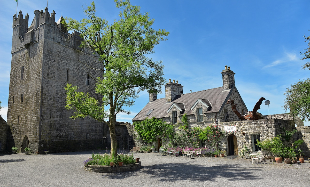
Add your own picture and explain the route, parking, gates, paths or landmarks that help people find it.
Earn 5 points after the picture is checked and accepted.
Add your photo and local directionsShare what you foundWhat is recorded here
Situated on SE end of a ridge, in undulating pasture, with extensive views in all directions. Kenny church (WM018-115----) and graveyard (WM018-115001-) c. 175m to NE. Kenny House and farmyard c. 25m to E, townland boundary c. 25m to W. Depicted on the 1837 ed. OS 6-inch map as a circular-shaped earthwork. Depicted on the 1913 ed. OS 25-inch map as a circular-shaped earthwork where the perimeter has been incorporated into field boundaries from NE-E-S-SW.
Monument described in 1980 as a large roughly circular mound or platform(dims. 28m NNE-SSW; 27m NW-SE) enclosed by a poorly preserved bank, intervening fosse and an outer bank. The inner bank is high and steep with a number of modern pathways leading up into the interior at various points. The intervening fosse is wide and deep and is visible from NE-E-S-W-N and has been infilled from N-NE. The outer edge of the fosse has been incorporated into modern field fences from NE-E-S-SW and a modern stone facing is built against the outer edge. There is a low, narrow causeway (Wth 1.2m; H 0.5m) across the fosse at SW which may be a later feature. The outer bank only survives from W-WNW. The interior slopes downwards from the perimeter to the centre and quite sharply at the W and NW. There is an irregular depression in the centre. Monument is visible today as a roughly circular-shaped tree-planted earthwork on Digital Globe aerial photography.
Compiled by: Alison McQueen, Vera Rahilly and Caimin O’Brien
Date of upload: 11 February 2019
The monument record does not grant public access. Check the route and ask the landowner before entering private land.