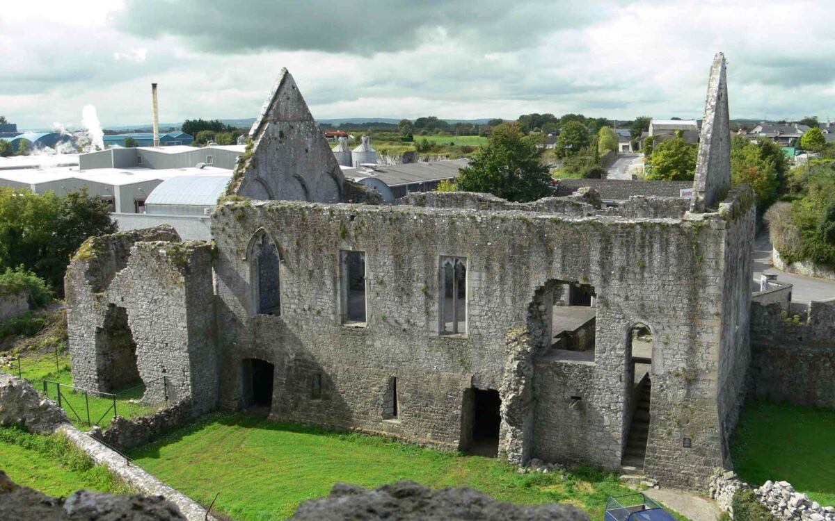
Add your own picture and explain the route, parking, gates, paths or landmarks that help people find it.
Earn 5 points after the picture is checked and accepted.
Add your photo and local directionsShare what you foundWhat is recorded here
Situated on a rise in gently undulating pasture with good views in all directions. Depicted on the 1837 ed. OS 6-inch map as a square-shaped enclosure shown in dotted outline (approx. dims. 22.5m NE-SW; 23m NW-SE) annotated ‘Site of Castle’. Depicted as an oblong-shaped mound (approx. dims. 24m NW-SE; 9m NE-SW) annotated ‘Castle (site of)’ on the revised 1913 ed. OS 6-inch map. No castle depicted in the townland of Glascarn on the Down Survey map of Mullingar parish (NLI, MS 723-4). The terrier of this map recorded that in 1641 the lands of Glascarn belonged to Alexander Hope (ibid.).
Levelled castle site described in 1980 as a long rectangular-shaped earth and stone mound (approx. L 16m NW-SE; Wth 3m; max. H 4m) running NW-SE which probably represents the grass-covered rubble from the levelled castle. The mound is quite high and steep sided with a generally flat top which is narrow and has a gentle NW-facing slope. The W side of the mound curves inwards slightly where abundant small limestone rubble has been piled up. There is a second pile of limestone rubble to the immediate NW of the mound. There is no clear sign of masonry in the mound, although it would appear that the castle was levelled and the stones from it were neatly piled up, possibly along a ruined wall, although this is inconclusive. There are old cultivation ridges running NE-SW in the vicinity. Monument is visible as an oblong-shaped mound on Digital Globe aerial photography.
Compiled by: Alison McQueen, Vera Rahilly and Caimin O’Brien
Date of upload: 08 February 2019
The monument record does not grant public access. Check the route and ask the landowner before entering private land.