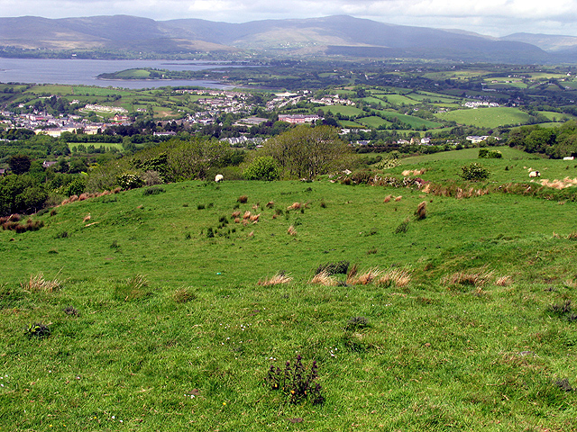
Add your own picture and explain the route, parking, gates, paths or landmarks that help people find it.
Earn 5 points after the picture is checked and accepted.
Add your photo and local directionsShare what you foundWhat is recorded here
Situated on a natural hillock, on the N side of a public road running NW-SE which truncates the monument at SW. Depicted on the 1837 ed. OS 6-inch map as a roughly oval-shaped earthwork, which is truncated by the public road at SW. Depicted on the revised 1913 ed. OS 25-inch map as a modified oval-shaped earthwork which has been truncated by the public road running across the SW quadrant.
Monument consists of the remains of a raised roughly semicircular-shaped area (diam. 28m) defined by a low, earthen bank running roughly N-S at W and a second earthen bank (approx. H 1m; Wth 1m) running NE-SW across the NW side. At the NE end of the northern bank is a partially tree-lined curvilinear scarp visible from N-E-SE. The monument has been cut by the public road across the SW quadrant. The interior is highest at the centre and slopes gradually downwards in all directions. There is a shallow depression at the base of the slope at N. There is a depression in this field to E and another, larger semicircular-shaped depression, in the field opposite the public road, to S, which appear to be disused quarries. The presence of quarry holes in the vicinity of this monument may suggest that it was quarried and backfilled in antiquity to form the present much modified perimeter. Monument is visible as a roughly semi-circular-shaped partially tree-lined earthwork on Digital Globe aerial photography.
See attached sketch plan of monument drawn by the ASI.
Compiled by: Alison McQueen, Vera Rahilly and Caimin O’Brien
Date of upload: 05 February 2019
The monument record does not grant public access. Check the route and ask the landowner before entering private land.