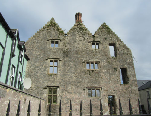
Add your own picture and explain the route, parking, gates, paths or landmarks that help people find it.
Earn 5 points after the picture is checked and accepted.
Add your photo and local directionsShare what you foundWhat is recorded here
A souterrain was discovered in the NW portion of a ringfort (WM018-011----) in 1990 when a hole was dug which gave access to a rectangular chamber measuring 4.15m L by 1.3m W and 1.7m H. There walls were constructed of dry-stone walling that tapered inwards towards the top where they were covered by large flags. The long axis of the chamber lay approximately E-W. A narrowing opening (0.47m x 0.47m and 0.75m L) at the W of the S wall of the chamber gave access to a second chamber which ran at right-angles to the first. This chamber measures 1.15m W by 2.75m L and is 1.45m H and the S end there appeared to be an exit passage: this was blocked by collapse which had spilled into the chamber. Monument registered as a Historic Monument in 1990.
Compiled by: Paul Walsh
Date of upload: 11 November 2013
The monument record does not grant public access. Check the route and ask the landowner before entering private land.