Add your own picture and explain the route, parking, gates, paths or landmarks that help people find it.
Earn 5 points after the picture is checked and accepted.
Add your photo and local directionsShare what you foundWhat is recorded here
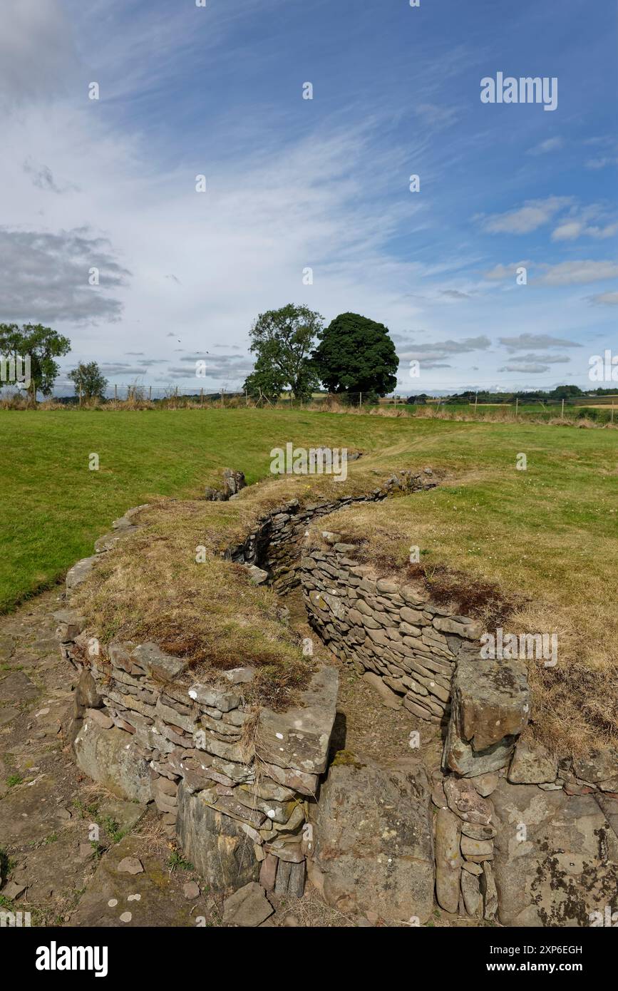
Situated on a ridge, in undulating, hilly pasture. Monument not depicted on any OS historic maps. Described in 1984 as the entrance to a souterrain which has been blocked up. The location would have been suitable for a ringfort. Souterrain not visible on Digital Globe aerial photography.
Compiled by: Alison McQueen, Vera Rahilly and Caimin O’Brien
Date of upload: 20 December 2018
The monument record does not grant public access. Check the route and ask the landowner before entering private land.