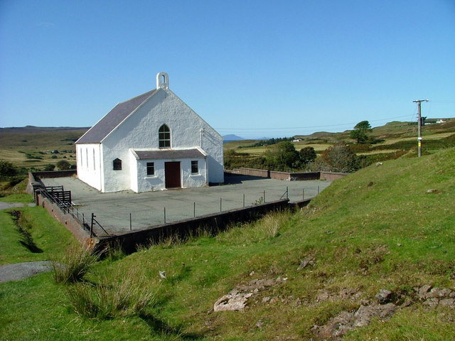
Add your own picture and explain the route, parking, gates, paths or landmarks that help people find it.
Earn 5 points after the picture is checked and accepted.
Add your photo and local directionsShare what you foundWhat is recorded here
Situated on a gentle ENE-facing slope, on the demesne lands of Oldtown House located 75m to ESE. Abbey site (WM017-054----) c. 86m to ESE. Depicted on the 1837 ed. OS 6-inch map as a small square-shaped area (approx. dims. 8.4m NE-SW; 8m NW-SE) annotated ‘Site of Church’. Annotated ‘Church site of’ on the revised 1913 ed. OS 25-inch map. Levelled church not visible on Digital Globe aerial photography. Low earthwork of a possible rectangular-shaped earthwork (approx. dims. 44m N-S x 30m E-W) which encloses the church site visible on Digital Globe aerial photographs. A post-1700 garden wall runs along the E side of this possible earthwork. The earthwork may be the remains of the small enclosure depicted on the 1837 ed. OS 6-inch map.
Site of levelled church described in 1971 as a shallow, semi-circular-shaped depression (C 18m) defined by an earth and stone bank which is reduced to a scarp from SW-W-N-E. There are slight undulations on the surface of the field in the vicinity, which may be associated with this monument. There are no surface remains visible of the outline of a levelled church. The W corner of an orchard wall encroaches on the site, as shown on the 1837 OS 6-inch map. Levelled church site described in 1978 as the remains of some low, defaced earthen banks and grass-covered stone foundations with no clear pattern. Old cultivation ridges running N-S are evident (ASI file). These cultivation ridges running NNE-SSW are clearly visible on Digital Globe aerial photographs. The cultivation ridges run up to the boundary of the church site but do not run across the monument
Compiled by: Alison McQueen, Vera Rahilly and Caimin O’Brien
Date of upload: 10 December 2018
The monument record does not grant public access. Check the route and ask the landowner before entering private land.