Add your own picture and explain the route, parking, gates, paths or landmarks that help people find it.
Earn 5 points after the picture is checked and accepted.
Add your photo and local directionsShare what you foundWhat is recorded here
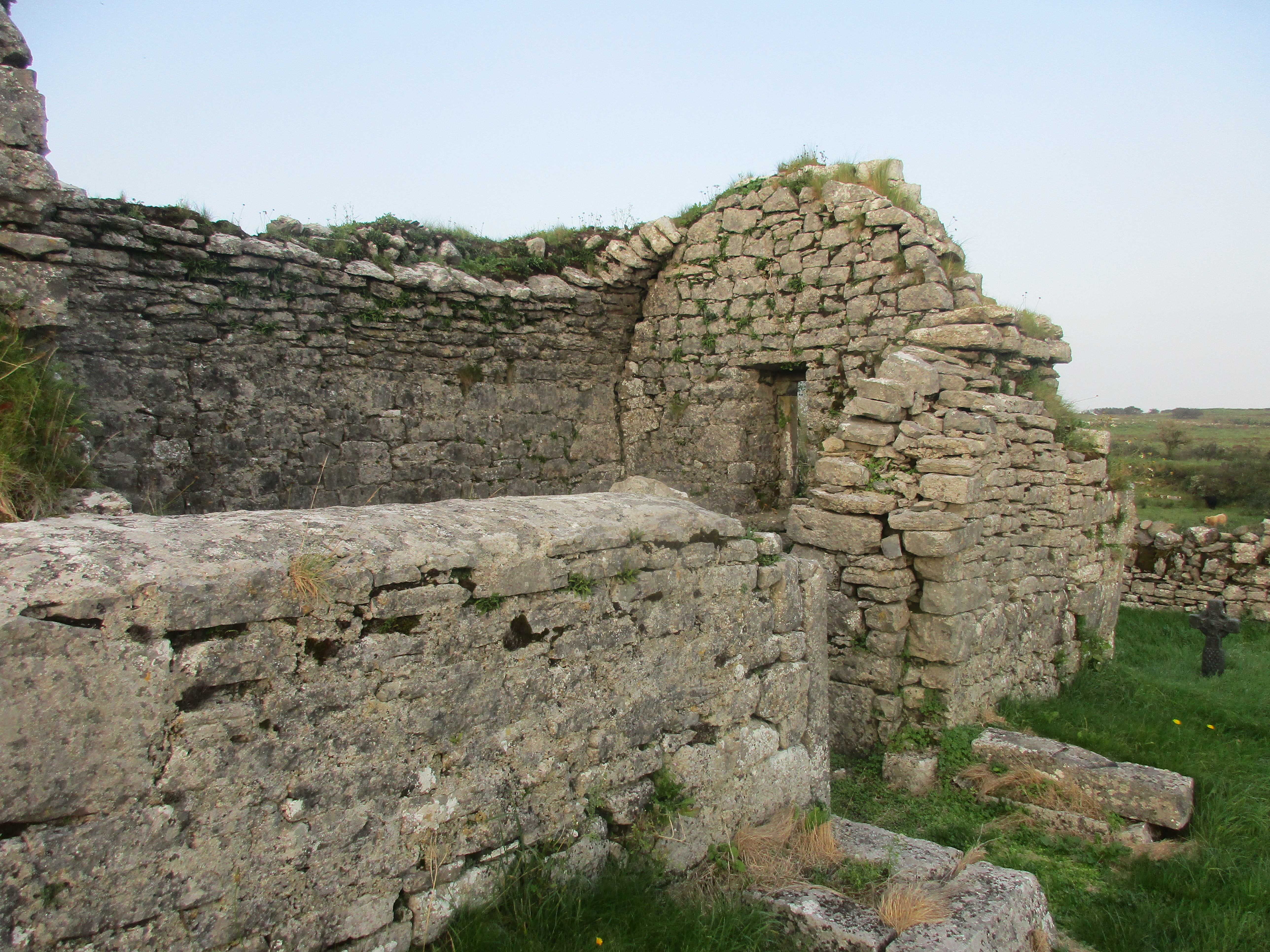
Situated on gentle SE facing slope of a prominent hill in grassland. A large circular-shaped area (approx. diam. 53m NW-SE), enclosed by a poorly preserved earthen bank which has been reduced to a scarp from NNW-N-E-SE. Vague traces of cultivation ridges are visible in the interior, which slopes slightly from WNW-ESE.
Compiled by: Frank Coyne and Caimin O'Brien
Date of upload: 11 September 2018
The monument record does not grant public access. Check the route and ask the landowner before entering private land.