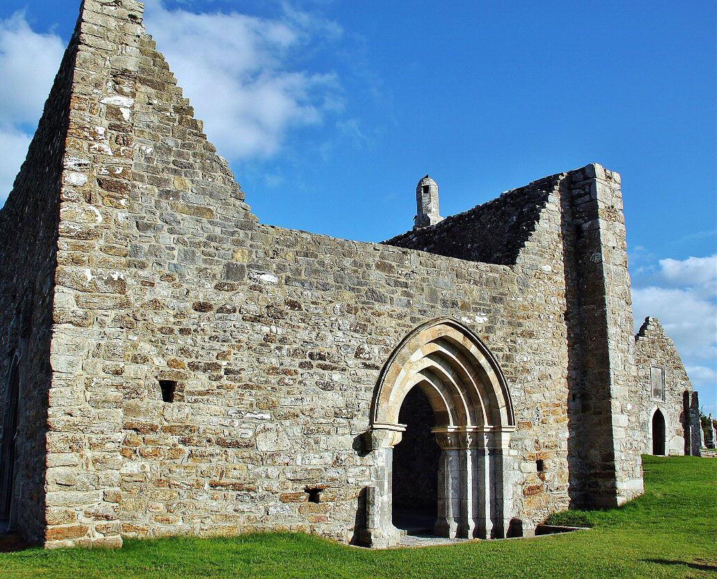
Add your own picture and explain the route, parking, gates, paths or landmarks that help people find it.
Earn 5 points after the picture is checked and accepted.
Add your photo and local directionsShare what you foundWhat is recorded here
Templeavally church (WM016-004----) and graveyard (WM016-004001-) located in the townland of Clonkeen situated on low-lying poorly drained land with good views in all directions. Loghter Castle (WM016-001----) 1.3km to NW and possible ringfort (WM016-003---) 340m to N. Inny River marking county boundary with Longford 350m to N and Creggy River 95m to E. On the 1837 ed. OS 6-inch map the church (WM016-004----) is shown standing in the N quadrant of a roughly-oval-shaped graveyard (WM016-004001-). The post-medieval curving boundary wall of this oval-shaped graveyard may be following line of possible ecclesiastical enclosure. Aerial photograph shows curving earthwork which may form part of a possible larger ecclesiastical enclosure in field to SW of graveyard (Swan 1988, 19). This curving earthwork is visible on Bing Maps aerial photograph taken November 2011. This poorly drained field contains low undulating earthworks of uncertain form and antiquity. It is not clear if this curving earthwork forms part of a larger ecclesiastical enclosure or associated with post-medieval drainage of this wet lowlying field. It is possible that the curving nature of the public road to the N of the church and graveyard forms part of this possible ecclesiastical enclosure.
WM016-004002-_02.jpg - Image of Bing Maps aerial photograph accessed on 9 October 2014 at http://binged.it/1ne0Bge
Compiled by: Caimin O’Brien
Date of upload: 9 October 2014
The monument record does not grant public access. Check the route and ask the landowner before entering private land.