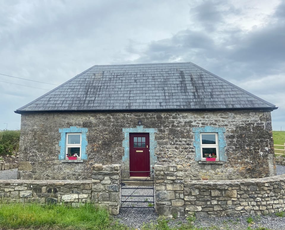
Add your own picture and explain the route, parking, gates, paths or landmarks that help people find it.
Earn 5 points after the picture is checked and accepted.
Add your photo and local directionsShare what you foundWhat is recorded here
Situated on a small knoll on the NW face of a ridge, with good views in all directions, especially over Lough Ree to the W and N. Lough Ree lies 840m to N with Creggan Lough 560m to SW. Bethlehem nunnery (WM015-002----) lies 1.8km to the N. Grass-covered foundations of a square-shaped tower house known as Ballynacliffy Castle (WM015-005----) standing on low natural rock outcrop with an extensive complex of earthworks to the N which may appears to represent the remains of a bawn and possible evidence of small house sites. These earthworks show up clearly on Digital Globe aerial photographs and on aerial photographs taken in 20/07/1970 (CUCAP BDU069-070). On the Digital Globe aerial photograph the bawn appears as the low earthwork of a rectangular shaped area (approx. int. dims. 93m E-W x 120m N-S) located to the N of the castle. The public road immediately S of the castle appears to cut across the S side of the bawn with no enclosing element visible on this side. Circular projections on NW angle and midway along N side of bawn appear to represent the remains of flanking towers. A sunken linear earthwork running NW from W side if bawn may be the remains of a medieval roadway or could be the remains of a drainage ditch. A series of rectangular shaped earthworks immediately N and NW of the castle could be the remains of some house site but this is uncertain. The bawn appears to be subdivided by a linear earthwork running N-S which is clearly visible on Digital Globe aerial photograph. Earthworks in field to S of public road and castle may be the result of post-1700 quarrying. A limekiln is depicted standing in the SE corner of this field on the 1838 ed. OS 6-inch map.
This castle was known in the 17th century as Ballineclossy Castle and was used as a garrison for English forces during the Irish Rebellion of 1641. The castle was described by Sir Henry Piers in 1682 as following; In 1641 'two foot companies of English forces, were commanded to quarter at Ballineclossy, a strong castle and dwelling house of a gentleman of antient family and good estate, situated in the promontory before mentioned these were commanded by a gentleman of a very noble extraction, captain Bertie or Bartie, brother to the lord chamberlain of England, the earl of Lindsey, who was general for the king at the battle of Edgehill' (Vallancey 1786, 82). According to Pies after the English burnt Bethlehem Nunnery (WM015-002---) they returned to 'their quarters at Ballineclossy aforesaid, which had been deserted by the inhabitants on their appearance, but left well stored with excellent strong beer and aquavitae, and all sorts of provisions for food' (ibid). Piers recorded that the castle was 'seated in the mentioned promontory, which jets out into the lake or Shannon, nearer to the main land then Bethlem, and hath over against it on the other side of the Inny, which here falls into Lough-Ree in the Shannon, a placed called Portenure' (ibid.).
Compiled by: Caimin O'Brien
Date of upload: 5 September 2018
The monument record does not grant public access. Check the route and ask the landowner before entering private land.